


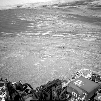
 Sol 1947-49, January 29, 2018, update by MSL scientist Ryan Anderson: Going in to planning today, there was a concern that we would run up against constraints on power and complexity that might force us to eliminate some of the science we wanted to do. Thankfully, that did not end up being the case and nothing had to be removed! I was especially happy about this because this morning I noticed that the single full-resolution Navcam frame of Mt. Sharp that we received (shown above) included a location that I wanted to image with ChemCam’s RMI. So even though I was on ChemCam downlink, I also managed to work with the uplink team to get a RMI observation into the plan.
The weekend plan begins on Sol 1947 with a Mastcam observation of the target “Montrose”, the first of a pair of images intended to watch for any changes in the soil at this location. After that, ChemCam will do a calibration observation and two analyses of targets “Thurso” and “Loch Tay,” followed by Mastcam documentation of those targets. In the afternoon of Sol 1947, MAHLI will take pictures of Thurso and Loch Tay. APXS will do a short measurement of Thurso, and then an overnight measurement of Loch Tay… [More at link]