Red Planet Report is on hiatus

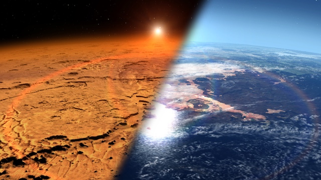
While the Red Planet Report is on hiatus, these links will help readers stay abreast of developments in Mars exploration. (NB: Some links are updated daily, others at longer intervals.)

NASA Mars news
Jet Propulsion Laboratory news (all topics)
European Space Agency (all topics)
ExoMars/robotic exploration of Mars (ESA)

Icarus (scientific journal) Twitter feed (all topics)
ScienceDaily Mars news

Perseverance rover mission (NASA)
Hope (al-Amal) United Arab Emirates orbiter (UAE)
Tianwen-1 orbiter and lander/rover (PRC)

Curiosity rover mission updates
Curiosity rover raw images (all cameras)
ChemCam instrument site

InSight lander

Mars Express (ESA)
MAVEN Twitter feed
Mars Odyssey (NASA)
THEMIS Image of the Day (ASU)
Mars Reconnaissance Orbiter status (JPL)
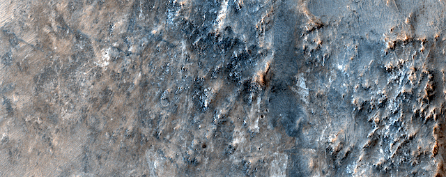
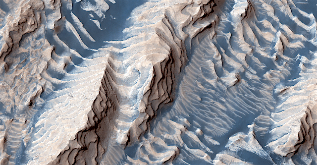
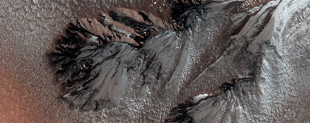
HiRISE Picture of the Day archive (UA)
CRISM Featured Images (JHU/APL)

Latest weather in Gale Crater (Curiosity rover)
Latest weather at Elysium Planitia (InSight lander)

In addition, be sure to check out the links in the column at right.

Posted in Reports | Comments Off

How much atmosphere has Mars lost?

mars_landscape_dry_wet_0A key tracer used to estimate how much atmosphere Mars lost can change depending on the time of day and the surface temperature on the Red Planet, according to new observations by NASA-funded scientists. Previous measurements of this tracer – isotopes of oxygen – have disagreed significantly. An accurate measurement of this tracer is important to estimate how much atmosphere Mars once had before it was lost, which reveals whether Mars could have been habitable and what the conditions might have been like.

Mars is a cold, inhospitable desert today, but features like dry riverbeds and minerals that only form with liquid water indicate that long ago it had a thick atmosphere that retained enough heat for liquid water – a necessary ingredient for life – to flow on the surface. It appears that Mars lost much of its atmosphere over billions of years, transforming its climate from one that might have supported life into the desiccated and frozen environment of today, according to results from NASA missions such as MAVEN and Curiosity and going back to the Viking missions of 1976.

However, many mysteries about the Red Planet’s ancient atmosphere remain.

“We know Mars had more atmosphere. We know it had flowing water. We do not have a good estimate for the conditions apart from that – how Earthlike was the Mars environment? For how long?” said Timothy Livengood of the University of Maryland, College Park and NASA’s Goddard Space Flight Center in Greenbelt, Maryland. Livengood is lead author of a paper on this research published online in Icarus August 1. [More at links]

Posted in Reports | Tagged , , , , | Comments Off

HiRISE: Layers in Danielson Crater

ESP_060331_1880This image shows sedimentary rock and sand within Danielson Crater, an impact crater 67 kilometers in diameter, located in the southwest Arabia Terra region of Mars.

The rock was formed millions or billions of years ago when loose sediments settled into the crater, one layer at a time, and were later cemented in place. Cyclical variations in the sediment properties made some layers more resistant to erosion than others. After eons, these tougher layers protrude outward like stair steps. Across these steps, the winds have scattered sand (typically appearing darker and less red, i.e. “bluer” in contrast-enhanced color), giving rise to the zebra stripe-like patterns visible here.

This image completes a stereo pair over this location, which will allow measurement of the thicknesses of these sedimentary layers. The layer thicknesses and how they vary through time can provide some insight into the processes, possibly linked to ancient climate, that deposited the layers so long ago. [More at link]

Posted in Reports | Tagged , , , , , , , , , | Comments Off

THEMIS: Chryse Chaos

Chryse Chaos (THMEIS_IOTD_20190906)THEMIS Image of the Day, September 6, 2019. This VIS image shows part of Chryse Chaos near the terminal end of the huge outflow channels draining from Valles Marineris into the Chyrse Basin.

Chaos terrain is typified by regions of blocky, often steep sided, mesas interspersed with deep valleys. With time and erosion the valleys widen and the mesas become smaller. It has been proposed that a catastrophic outflow of subsurface water creates the chaos and provides the surface flow creating the channel.

Chaos terrain is also found along the course of most of channels in this region and may occur where the channel flow fluid warms the subsurface ice creating additional release points for melted subsurface ice. The chaos terrain in this image still retain the classic steep sided large mesas.

Explore more THEMIS Images of the Day by geological subject.

Posted in Reports | Tagged , , , , , , , , , | Comments Off

MARCI weather report, August 26-27, 2019

MARCI-August-27-2019Weather patterns were fairly typical last week for this time of Mars year. In the north, local-scale dust storms were spotted along seasonal north polar cap edge. Diffuse water-ice clouds associated with the aphelion cloud-belt continued to be more dominant over the mid-to-low latitudes each afternoon. Both the Curiosity Rover in Gale Crater and the InSight lander on Elysium Planitia had storm-free afternoon skies all week.

Mars is currently in conjunction, which means that the red planet is on the opposite side of the Sun from Earth. This makes it difficult to send and receive signals from Mars. Although MARCI data will still be taken during conjunction, it will not be transmitted back to Earth for several weeks. This is the last MARCI weather report until then, so stay tuned, and check back in late September for new reports. [More at link, including video]

Posted in Reports | Tagged , , , , , , , , , , , , , , | Comments Off

HiRISE: Frost highlights in springtime

ESP_059681_2410This image of a crater rim strikingly shows what appear to be bright white flows coming from gullies in the crater wall. However, HiRISE has been watching these gullies for some time (going all the way back to our first observation in 2012) and the flow features have been there for years. The new aspect is the bright white coloration, which is frost.

This is the earliest in the springtime that this area has been observed, and just like some winter mornings here on Earth, the conditions on Mars can be just right for frost to form. The interesting thing is that the frost appears on the gully deposits and not as much on the surrounding rock, indicating the physical properties of the gully deposits are different. [More at link]

Posted in Reports | Tagged , , , , , , , | Comments Off

THEMIS: Chaos in Morava Valles

Morava Valles (THEMIS_IOTD_20190905)THEMIS Image of the Day, September 5, 2019. Located in Margaritifer Terra, Morava Valles is one of several channels that empty northward towards Chryse Planitia.

Chaos terrain is typified by regions of blocky, often steep sided, mesas interspersed with deep valleys. With time and erosion the valleys widen and the mesas become smaller. It has been proposed that a catastrophic outflow of subsurface water creates the chaos and provides the surface flow creating the channel.

Morava Valles arises from a region of chaos. Chaos terrain is also found along the course of the channel and may occur when the channel flow fluid warms the subsurface ice creating additional release points for melted subsurface ice. This VIS image shows a region of chaos near the terminal end of Morava Valles.

Explore more THEMIS Images of the Day by geological subject.

Posted in Reports | Tagged , , , , , , , , , , | Comments Off

MARCI weather report, August 19-25, 2019

MARCI-August-19-2019Afternoon weather conditions were again very seasonal this past week. Local dust storms were observed along the seasonal receding north polar cap edge and at southern low-to-mid latitudes. The developing aphelion cloud belt continued to be prominent at equatorial latitudes. Both the Curiosity Rover in Gale Crater and the InSight lander on Elysium Planitia had storm-free skies all week. [More at link, including video]

Posted in Reports | Tagged , , , , , , , , , , , , , , , , , , , , , , , , | Comments Off

HiRISE: Bedrock riddles of Nili Fossae

ESP_060064_2005This image of the Nili Fossae region, to the west of the great Isidis basin, shows layered bedrock with many impact craters.

Nili Fossae is one of the most mineralogically important sites on Mars. Remote observations by the infrared spectrometer onboard MRO (called CRISM) suggest the layers in the ancient craters contain clays, carbonates, and iron oxides, perhaps due to hydrothermal alteration of the crust. However, the impact craters have been degraded by many millions of years of erosion so the original sedimentary, impact ejecta, or lava flows are hard to distinguish.

The bright linear features are sand dunes, also known as “transverse aeolian dunes,” because the wind direction is at ninety degrees to their elongated orientation. This shows that the erosion of Nili Fossae continues to the present day with sand-sized particles broken off from the local rocks mobilized within the dunes. [More at link]

Posted in Reports | Tagged , , , , , , , , , , , , , , , , | Comments Off

THEMIS: Patterns on patterns in Olympia Undae

Patterns on patterns in Olympia Undae (THEMIS_IOTD_20190904)THEMIS Image of the Day, September 4, 2019. Today’s VIS image shows part of Olympia Undae, the largest of several dune fields that encircle the north polar cap. (It is also known as the north polar sand sea.) This image was collected in the spring season.

Explore more THEMIS Images of the Day by geological subject.

Posted in Reports | Tagged , , , , , , , , , | Comments Off