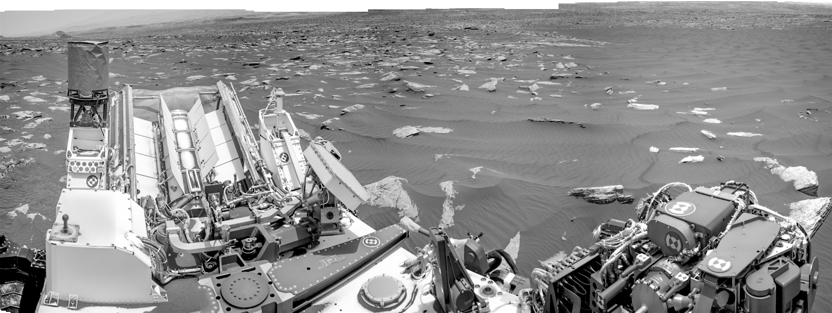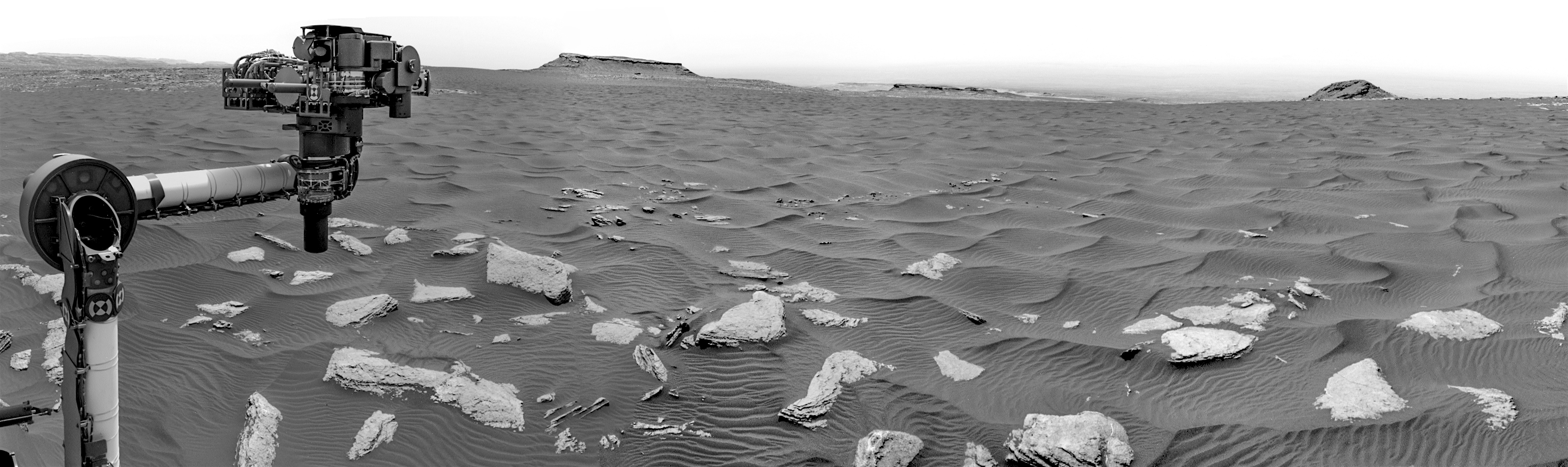
 Sol 1636, March 14, 2017. On a sol with a short (15-foot) drive to the west-southwest, the rover’s Navcam took composite pans to the northwest (above) and southeast (below).
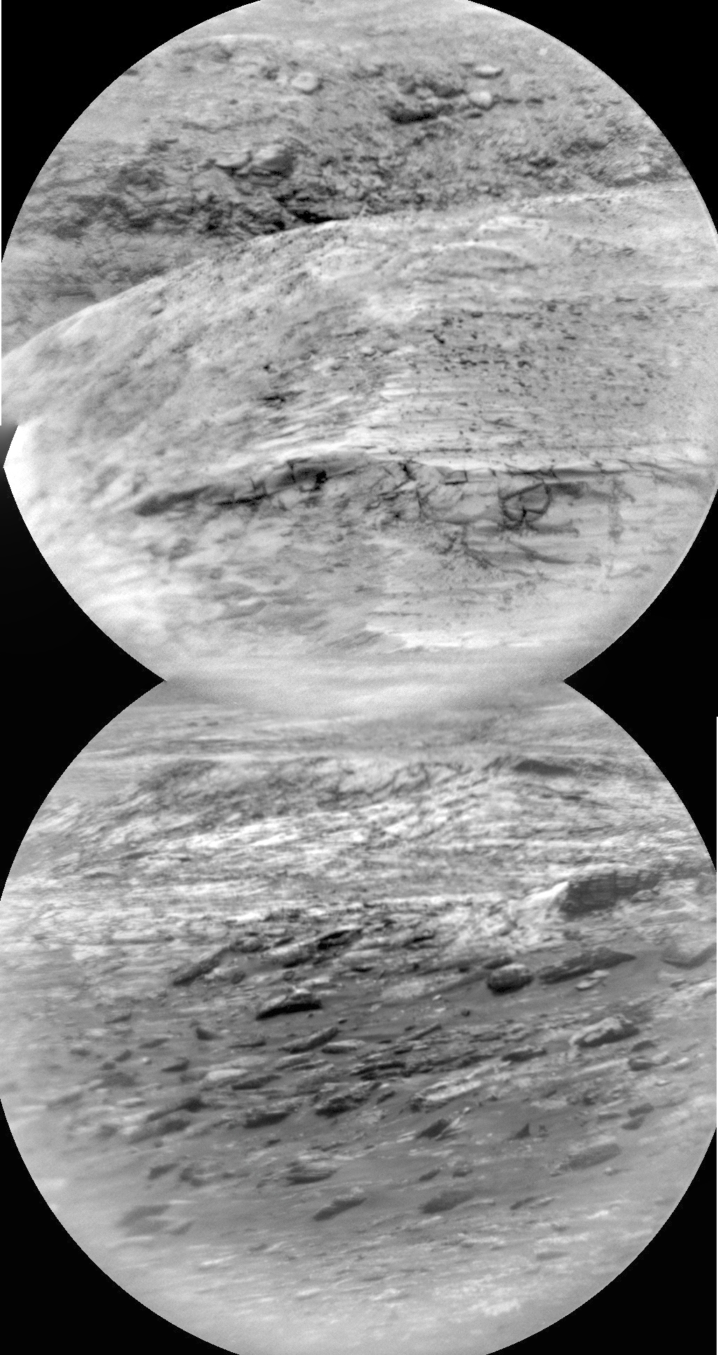
Just before the drive, the Remote Micro-Imager profiled part of Mt. Sharp’s layers (right). Click any image to enlarge it.
Sol 1636 raw images (from all cameras), and Curiosity’s latest location.