

-
Recent Posts
Archives
Links
general
mission instruments
- CRISM: Compact Reconnaissance Imaging Spectrometer for Mars
- CTX: Context Camera
- HiRISE: High Resolution Imaging Science Experiment
- MARSIS: Mars Advanced Radar for Subsurface and Ionosphere Sounding
- SHARAD: Shallow Radar
- THEMIS: Thermal Emission Imaging System
missions
- All Mars missions list
- Curiosity rover
- ExoMars
- Hope (al-Amal) orbiter
- InSight
- Mars Atmosphere and Volatile Evolution Mission (MAVEN)
- Mars Exploration Rovers (MER)
- Mars Express (MEX)
- Mars Odyssey
- Mars Orbiter Mission (MOM) / Mangalyaan
- Mars Reconnaissance Orbiter (MRO)
- Mars Science Laboratory (MSL)
- Perseverance Rover
- Tianwen-1 orbiter/rover
news
Monthly Archives: January 2014
HiRISE image: giant gullies north of the Argyre impact basin
This image shows gullies that are large even by Mars standards, and much larger than the terrestrial landforms we call gullies. The length of some of these is over 6 kilometers (3.6 miles). They are located on large mountains located … Continue reading
Posted in Reports
Tagged Argyre Planitia, gullies, HiRISE, Mars Reconnaissance Orbiter, MRO
Comments Off
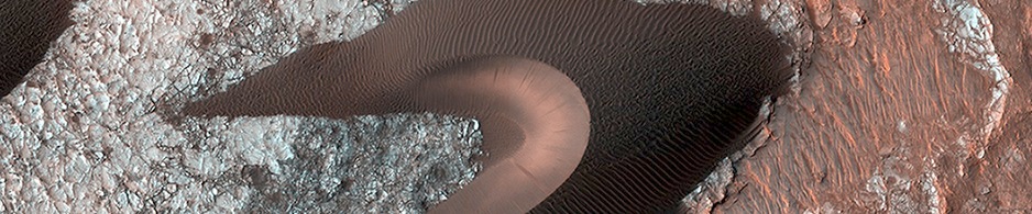
HiRISE image: shapes and spots on a polar sand dune
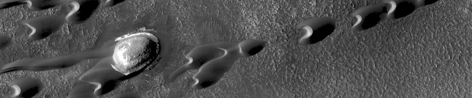
This image shows numerous dark shapes and bright spots on a sand dune in the Northern polar regions of Mars. The bright spots are carbon dioxide frost. On Mars, the main atmospheric component is carbon dioxide, which circulates seasonally between … Continue reading
Posted in Reports
Tagged CO2 ice, dunes, HiRISE, ice, Mars Reconnaissance Orbiter, north polar sand sea, polar sand dunes
Comments Off
HiRISE image: light-toned deposits along Coprates Chasma slopes
Valles Marineris contains kilometers-thick light-toned layered sedimentary deposits along many of its floors. In this image, similar light-toned layered deposits are observed, except these are found along steeper wallrock slopes in Coprates Chasma. Compositional data from CRISM and also stereo … Continue reading
Posted in Reports
Tagged Coprates Chasma, HiRISE, ILDs, interior layered deposits, Mars Reconnaissance Orbiter, MRO
Comments Off
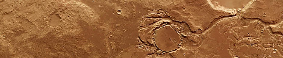
HiRISE image: Oxus Patera collapse feature
Oxus Patera is an ancient, eroded depression in northern Arabia Terra. It is not known how Oxus Patera formed, though it has been suggested that the feature represents an ancient caldera formed through collapse and explosive volcanism. Other possibilities include … Continue reading
Posted in Reports
Tagged Arabia Terra, HiRISE, Mars Reconnaissance Orbiter, MRO, Oxus Patera
Comments Off
CRISM image: high-calcium pyroxene in Bosporus Planum
The two featured images here show iron/magnesium-rich minerals in the Bosporus Planum region of Mars. The Martian crust is made mostly of igneous rock containing the minerals olivine and pyroxene. Pyroxene is the dominant silicate mineral in most igneous rocks … Continue reading
Posted in Reports
Tagged Bosporus Planum, Compact Reconnaissance Imaging Spectrometer for Mars, CRISM, Mars Reconnaissance Orbiter, MRO, water
Comments Off
Mars Express: 10 years at Mars
Ten years ago, on 14 January 2004, Mars Express took its very first images of Mars in colour and in 3D. To mark the occasion, the team produced a fly-through movie of the ancient flood plain Kasei Valles. The movie … Continue reading
Posted in Reports
Tagged ESA, European Space Agency, High Resolution Stereo Camera, HRSC, Mars Express, MEX
Comments Off
Mars Color Imager (MARCI) weather report, January 6-12, 2014
Mars Color Imager (MARCI) weather report, January 6-12, 2014: Dust-raising activity was active off the perennial north polar cap edge with storms in Arcadia and Acidalia, and haze from suspended dust particles extended south into Chryse as well as over … Continue reading
Posted in Reports
Tagged MARCI, Mars Color Imager, Mars Reconnaissance Orbiter, MRO, weather
Comments Off
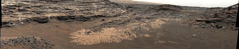
Unusual rock lying in front of Opportunity on Murray Ridge
This before-and-after pair of images of the same patch of ground in front of NASA’s Mars Exploration Rover Opportunity 13 days apart documents the arrival of a bright rock onto the scene. The rover had completed a short drive just … Continue reading
Posted in Reports
Tagged donut rock, Endeavour Crater, Mars Exploration Rovers, MER, Meridiani Planum, Murray Ridge, Opportunity, Pinnacle Island, Solander Point
Comments Off
HiRISE image: Fissure near Cerberus Fossae with tectonic morphologies
The linearity of the volcanic vent shown in this HiRISE image, in conjunction with evidence of lava flow from the vent, suggests control by combined volcano-tectonic processes…. [More at link]
Posted in Reports
Tagged Cerberus Fossae, fissures, HiRISE, Mars Reconnaissance Orbiter, tectonics, volcanic activity, volcanic vent
Comments Off
THEMIS image: Galaxias Colles
THEMIS Image of the Day, January 22, 2014. The hills in this VIS image appear mantled with material that is probably ice-rich. They are part of a large region of hills located north of Hecates Tholus.