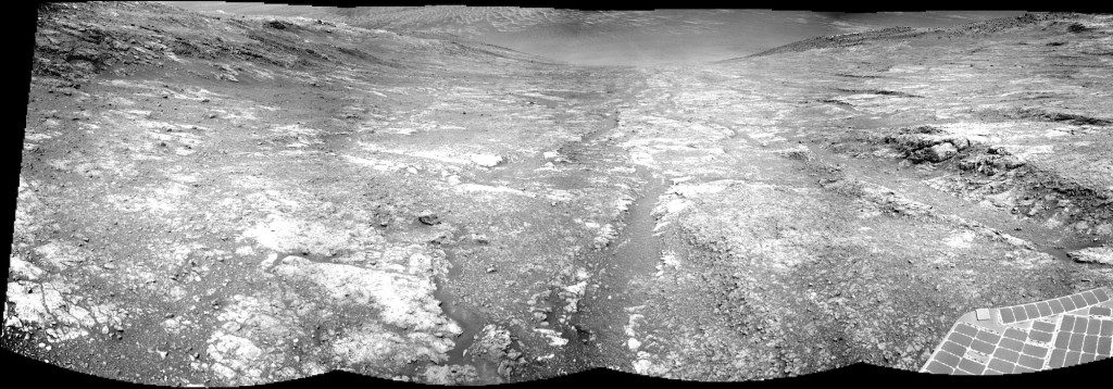
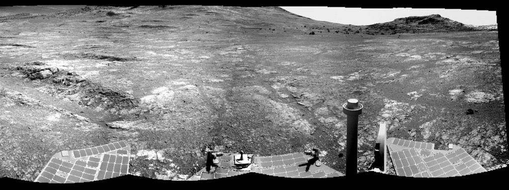
 Sol 4468, August 18, 2016. The Navcam took a semi-panorama (1 frame high by 7 frames wide) that started looking northeast and finished by pointing southwest. Above, the lefthand part of the pan: a view down Marathon Valley, with dunes visible on the floor of Endeavour Crater. Below is the rest of the pan ending at Hinners Point. There is a one-frame overlap between the two, and both images enlarge when clicked.
Opportunity raw images, its latest mission status, a location map. and atmospheric opacity, known as tau.


