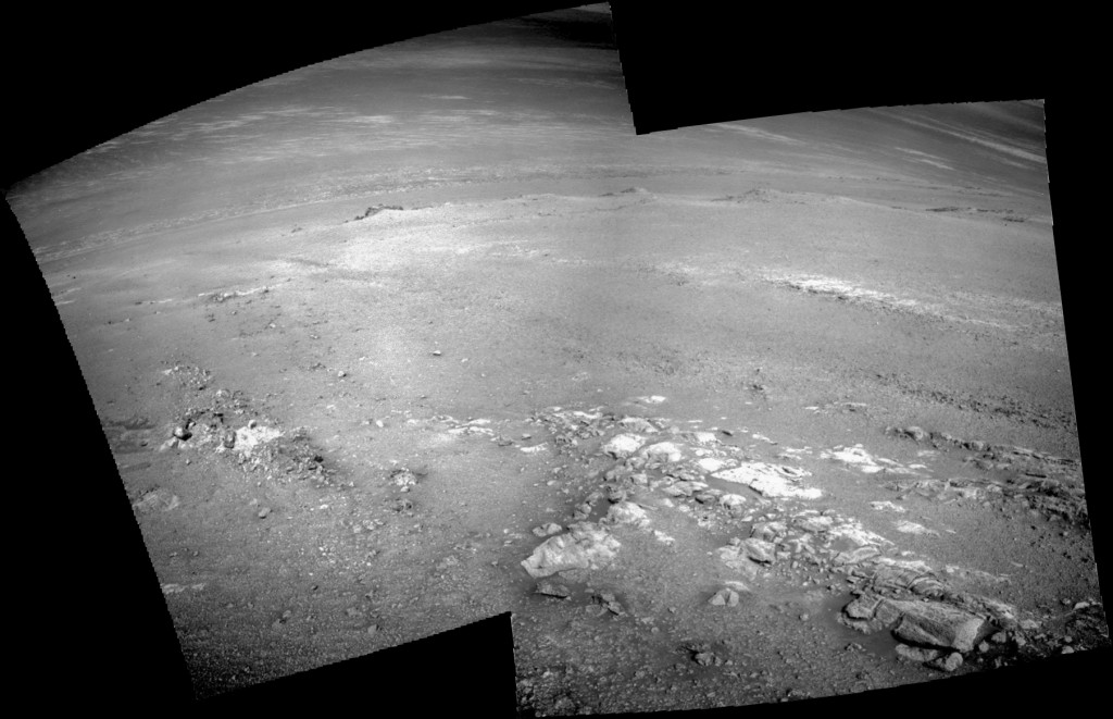
 Sol 5068, April 27, 2018. Mission controllers have been driving Opportunity to where the rover can examine both the vesicular rocks and the tabular ones with comparative ease. So they drove the rover uphill, then turned, and went to the southeast, making a circuitous path to avoid areas where the driving could prove difficult.
The Navcam pair above looks downhill with the vesicular rocks at the left edge and tabular rocks on the right. Click the image to enlarge it.
Opportunity raw images, its latest mission status, location map, and atmospheric opacity, known as tau.


