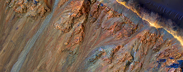
Curiosity: Rocky road to the ridge

1684-navcamCuriosity_Location_Sol1684
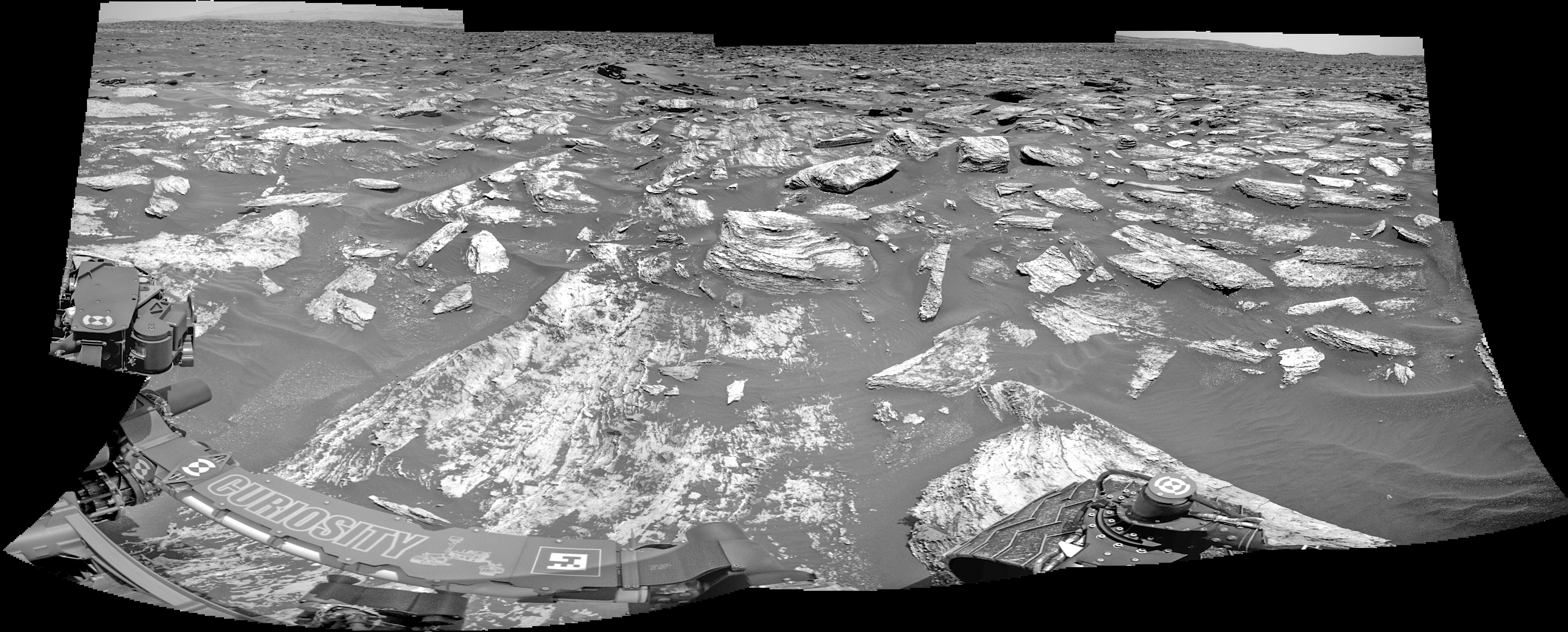
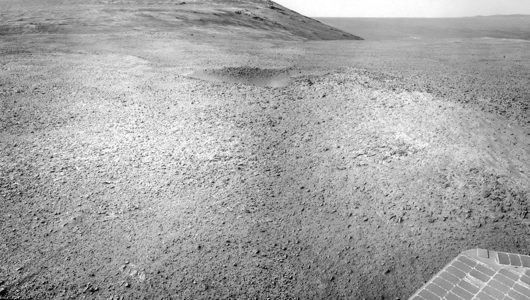
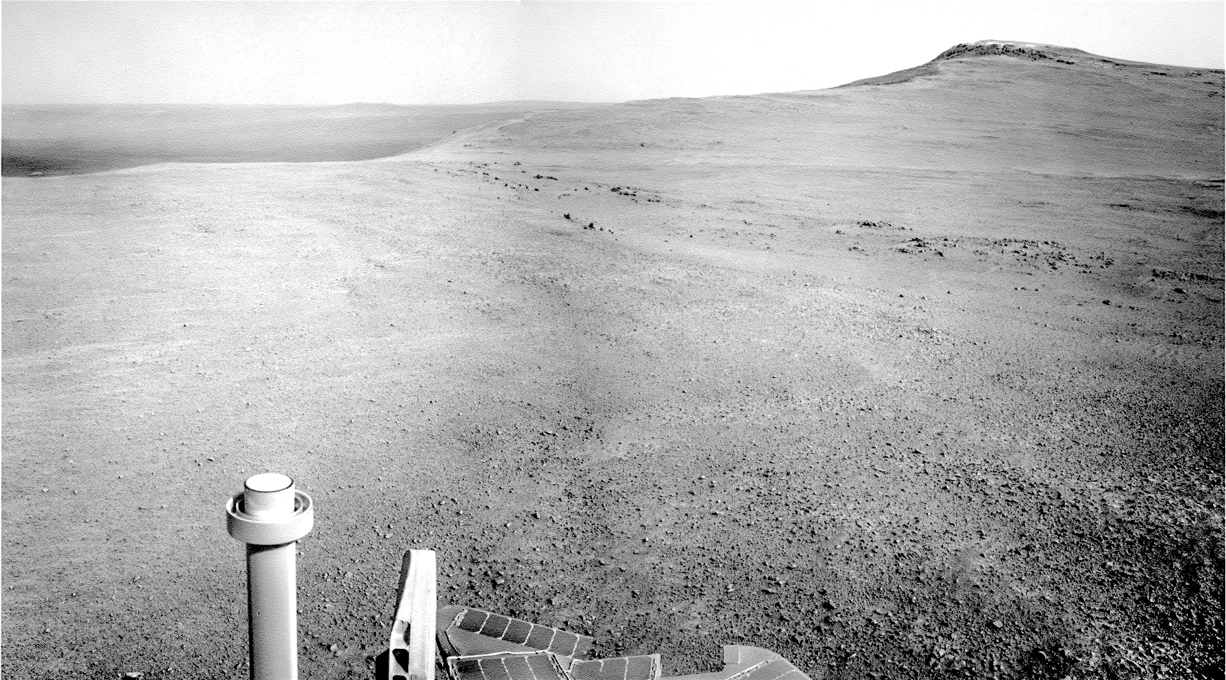
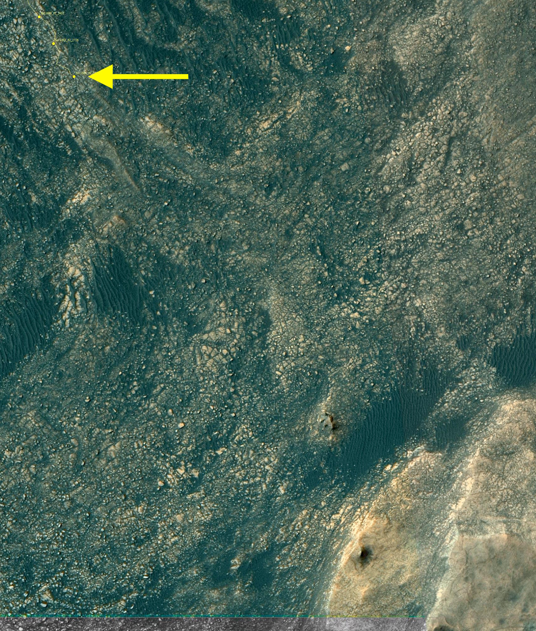
Sol 1684, May 2, 2017. As the rover continues its southeastward trek to Vera Rubin Ridge, the “road” across the Murray Formation is far from smooth, as this Navcam composite shows.

Right: Curiosity’s location on Sol 1684 is shown by the arrow. The closest part of Vera Rubin Ridge appears at bottom right. Click either image to enlarge it.

Sol 1684 raw images (from all cameras), and Curiosity’s latest location.

Posted in Reports | Tagged , , , , , , , , , | Comments Off

HiRISE: Colorful equatorial gullies in Krupac Crater

ESP_049488_1720Although large gullies (ravines) are concentrated at higher latitudes, there are gullies on steep slopes in equatorial regions. An enhanced-color closeup shows part of the rim and inner slope of Krupac Crater located just 7.8 degrees south of the equator.

The colors of the gully deposits match the colors of the eroded source materials. Krupac is a relatively young impact crater, but exposes ancient bedrock. Krupac Crater also hosts some of the most impressive recurring slope lineae (RSL) on equatorial Mars outside of Valles Marineris. [More at link]

Posted in Reports | Tagged , , , , , , , , , | Comments Off

Mars’ formation was cool and remote

M-V-E-Mars-compA team of planetary scientists led by Ramon Brasser (Tokyo Insitute of Technology) has outlined a scenario for the formation of Mars within in the asteroid belt and outside of the formation zones of Earth and Venus.

Writing in Earth and Planetary Science Letters, the team says, “With approximately one ninth of Earth’s mass, Mars is widely considered to be a stranded planetary embryo that never became a fully-grown planet. A currently popular planet formation theory predicts that Mars formed near Earth and Venus and was subsequently scattered outwards to its present location.

“In such a scenario, the compositions of the three planets are expected to be similar to each other. However, bulk elemental and isotopic data for martian meteorites demonstrate that key aspects of Mars’ composition are markedly different from that of Earth. This suggests that Mars formed outside of the terrestrial feeding zone during primary accretion.

“It is therefore probable that Mars always remained significantly farther from the Sun than Earth; its growth was stunted early and its mass remained relatively low. Here we identify a potential dynamical pathway that forms Mars in the asteroid belt and keeps it outside of Earth’s accretion zone while at the same time accounting for strict age and compositional constraints, as well as mass differences.” [More at link]

Posted in Reports | Tagged , | Comments Off

Opportunity: Cruising past Casper

4717-navcamSol 4717, May 1, 2017. The rover’s Navcam looked back toward the north and east, capturing a diminutive impact crater dubbed Casper Crater, after the Command and Service Module for the Apollo 16 Moon mission. Click image to enlarge it.

Opportunity raw images, its latest mission status, a location map, and atmospheric opacity, known as tau.

Posted in Reports | Tagged , , , , , , , , | Comments Off

HiRISE: Colorful mounds, bedrock in Terra Sirenum

tumblr_ooxae0w3iX1rlz4gso1_1280Colorful mounds and bedrock in Terra Sirenum. Beautiful Mars series.

Posted in Reports | Tagged , , , , , , , , , | Comments Off

THEMIS: Varieties of geo-chaos in Gorgonum

Varieties of chaos in Gorgonum (THEMIS_IOTD_20170502)THEMIS Image of the Day, May 2, 2017. Today’s false color image shows part of Gorgonum Chaos. Chaotic regions form when groundwater escapes to the surface, undermining it and causing the ground to collapse. The linear depression at the bottom of the image is a geological fault, part of Sirenum Fossae. Gorgonum Chaos is located in Terra Sirenum.

The THEMIS VIS camera contains 5 filters. The data from different filters can be combined in multiple ways to create a false color image. These false color images may reveal subtle variations of the surface not easily identified in a single band image.

More THEMIS Images of the Day by geological topic.

Posted in Reports | Tagged , , , , , , , , , , , , | Comments Off

HiRISE: Aging with impacts

ESP_049398_2180Mamers Valles is a long (approximately 1000 kilometers) sinuous canyon beginning in Arabia Terra and ending in the Northern lowlands of Deuteronilus Mensae. This image features the southern facing slope of the canyon wall.

The northern half (top) has a rough, pitted texture with numerous impact craters, while the middle section shows the steep canyon wall. Streaks of slightly different colors show slope material eroding onto the canyon floor. Though the canyon itself was formed long ago, the material deposited on the canyon floor has been laid down over time, creating a much younger surface. [More at link]

Posted in Reports | Tagged , , , , , , , , | Comments Off

Opportunity: Approaching the valley

4716-navcamSol 4716, April 30, 2017. With an east-southeast drive of nearly 40 meters (130 feet approximately), Opportunity is drawing near to the head of Perseverance Valley. At right, Winnemucca mesa stands overlooking the scene. Click image to enlarge it.

Opportunity raw images, its latest mission status, a location map, and atmospheric opacity, known as tau.

Posted in Reports | Tagged , , , , , , , | Comments Off

HiRISE: Channels northwest of Hale Crater

tumblr_ookwn1kpWP1rlz4gso2_1280Channels northwest of Hale Crater. Beautiful Mars series.

Posted in Reports | Tagged , , , , , , , , | Comments Off

Curiosity update: Kicking the tires

NRB_546198605EDR_S0621386NCAM00572M_-br2Sol 1681-83, April 28, 2017, update by MSL scientist Michael Battalio: After a drive of almost 29 meters, we are parked at a site suitable for a busy plan full of contact science on the Murray formation.  GEO focused mainly on characterizing nearby flagstone – “Duck Brook Bridge” was like the typical Murray formation that was tan in color, and “Cliffside Bridge” and “Waterfall Bridge” were more coarse-grained and gray.  ChemCam will observe all of those targets, and APXS will measure both Duck Brook Bridge and Waterfall Bridge, with a long integration on Duck Brook Bridge.  Mastcam observations will support that targeted science in addition to obtaining mosaics of fine-scale laminations on the “Stanley Brook Bridge” contact and alternating layering on “Chasm Brook Bridge.”  In… [More at link]

Posted in Reports | Tagged , , , , , , , , , , , , , | Comments Off