


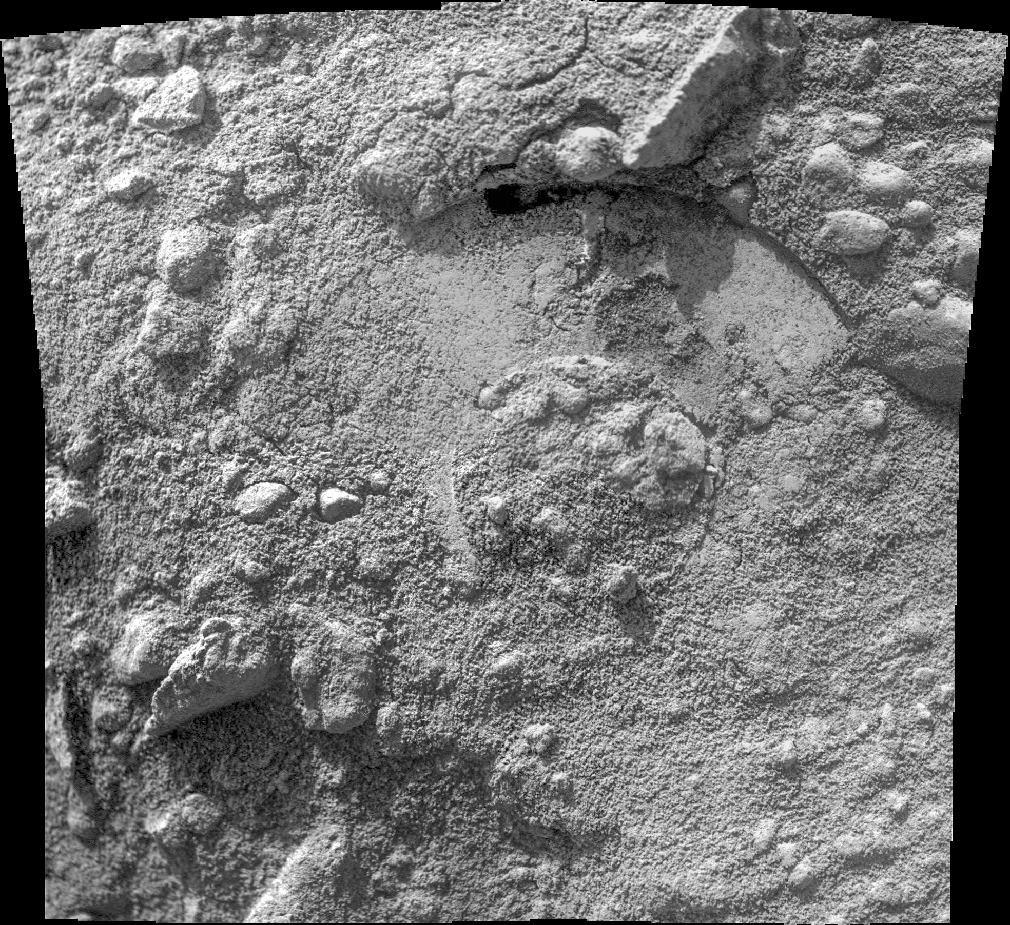
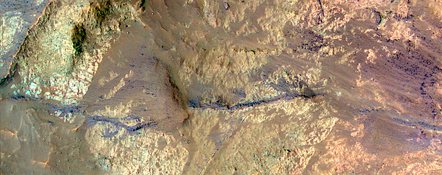
 Sol 1571, January 5, 2017, update by USGS scientist Ken Herkenhoff: The investigation of Old Soaker continues to go well, so we’re planning to drive away on Sol 1571. But first, ChemCam and Right Mastcam will observe darker bedrock patches named “Gilley Field” and “Fresh Meadow” and a dark clast called “North Bubble.” Mastcam will also acquire a multispectral set of images of a dark spherule dubbed “Greening Island” before the drive. After the drive, the arm will be unstowed to allow Navcam and Left Mastcam to take pictures of the area in front of the… [More at link]


-
Recent Posts
Archives
Links
general
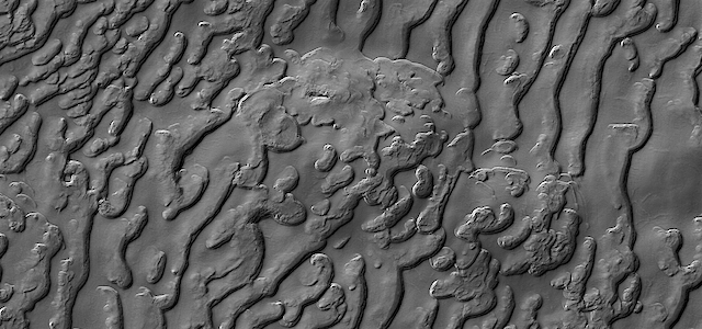
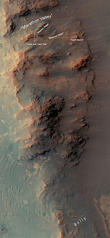
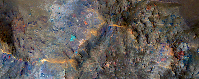
mission instruments
- CRISM: Compact Reconnaissance Imaging Spectrometer for Mars
- CTX: Context Camera
- HiRISE: High Resolution Imaging Science Experiment
- MARSIS: Mars Advanced Radar for Subsurface and Ionosphere Sounding
- SHARAD: Shallow Radar
- THEMIS: Thermal Emission Imaging System
missions
- All Mars missions list
- Curiosity rover
- ExoMars
- Hope (al-Amal) orbiter
- InSight
- Mars Atmosphere and Volatile Evolution Mission (MAVEN)
- Mars Exploration Rovers (MER)
- Mars Express (MEX)
- Mars Odyssey
- Mars Orbiter Mission (MOM) / Mangalyaan
- Mars Reconnaissance Orbiter (MRO)
- Mars Science Laboratory (MSL)
- Perseverance Rover
- Tianwen-1 orbiter/rover
news