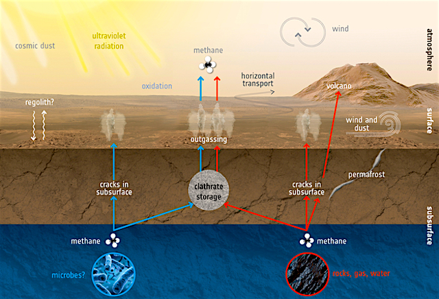
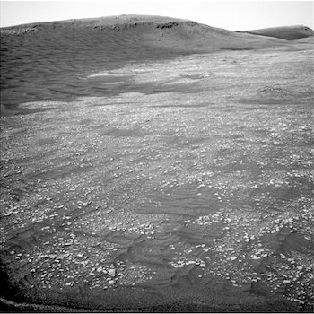
THEMIS Image of the Day, April 2, 2019. This false-color VIS image shows part of Meridiani Planum. While this image does not show where the Opportunity MER rover explored, Meridiani Planum was Opportunity’s home since it arrived in January 2004.
Opportunity was last heard from at the start of the large dust storms during the summer of 2018. After many months trying to reestablish communications, NASA declared the mission over in February 2019. The rover covered over 25 miles of travel and provided new insights into the geology of Mars.
Opportunity’s original mission length was just 90 days, but it lasted 15 years! Good night Opportunity. For more information about Opportunity, and her sister rover Spirit, visit https://mars.nasa.gov/mer/mission/overview.
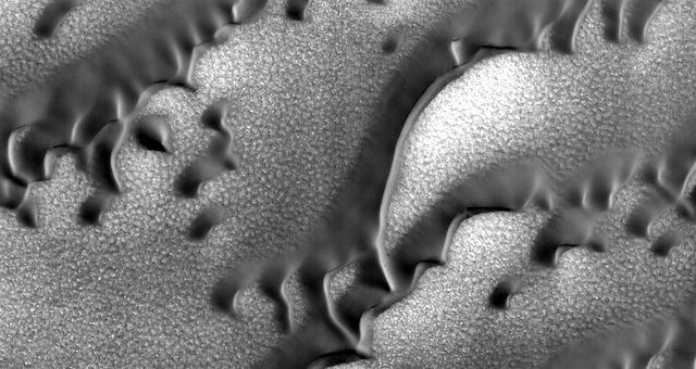
The THEMIS VIS camera contains 5 filters. The data from different filters can be combined in multiple ways to create a false color image. These false color images may reveal subtle variations of the surface not easily identified in a single band image.
Explore more THEMIS Images of the Day by geological subject.
 Layered strata in a feature attributed to lateral moraine in Coprates Chasma; B) Multiple layers across a glacial ‘trimline’ suggests this continuous boundary down the sides of Marineris is bedrock strata rather than an ice-carved erosional fill level; C) ‘Kettle holes’ are with high resolution actually comprised of ridges composed of individual mounds; D) A closer look at these mounds; note the shadows to the south-east. All images adapted from Figures 4, 10, and 12 of Kissick and Carbonneau (2019).")
.")