Did Mars Pathfinder explore edge of northern ocean?

41598_2019_39632_Fig1_HTMLNASA’s first rover mission to Mars, the Pathfinder, imaged an extraterrestrial marine spillover landscape 22 years ago, according to a new paper by Planetary Science Institute Senior Scientist Alexis Rodriguez.

The landing site is on the spillway of an ancient sea that experienced catastrophic floods released from the planet’s subsurface and its sediments. This could potentially yield evidence of Martian habitability, said Rodriguez, lead author on “The 1997 Mars Pathfinder Spacecraft Landing Site: Spillover Deposits from an Early Mars Inland Sea,” which appears in Nature Scientific Reports. (…)

To test the Martian mega-flood hypothesis, NASA deployed its first Martian rover; the Sojourner, on board the 1997 Mars Pathfinder spacecraft that journeyed to the red planet. NASA spent a total of $280 million on the mission, including the launch vehicle and mission operations. The terrain within the rover’s visual range includes potential fluvial features suggestive of regionally extensive flooding.

However, those features suggest floods that were at least 10 times shallower than those estimated using images obtained from orbit. Hence, the mission was not able to exclude still disputed alternative views sustaining that debris or lavas flows could have in fact dominated the channels’ formational history without significant water discharges.

“Our paper shows a basin, with roughly the surface area of California, that separates most of the gigantic Martian channels from the Pathfinder landing site. Debris or lava flows would have filled the basin before reaching the Pathfinder landing site. The very existence of the basin requires cataclysmic floods as the channels’ primary formational mechanism” said Rodriguez. [More at links]
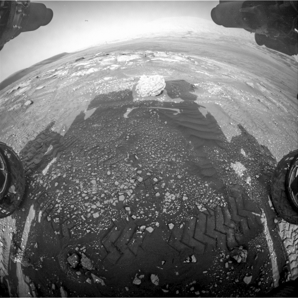
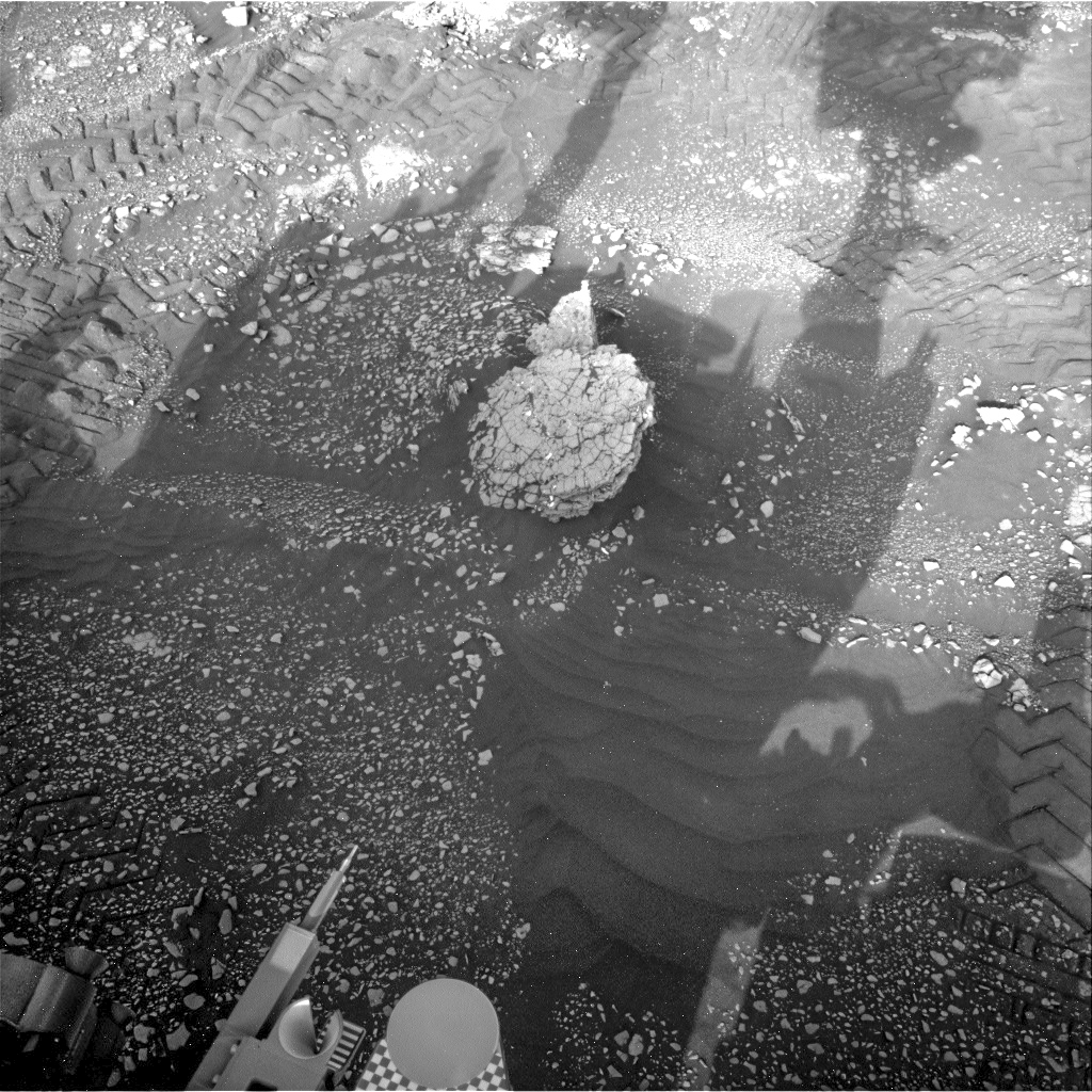
Posted in Reports | Tagged , , , , , , , | Comments Off

HiRISE: We found geology in a chaotic place

ESP_054701_1800We found geology in a chaotic place. The terrain here lives up to its description as “chaotic:” we see small hills, mesas, buttes and valleys. This area is called Oxia Palus, and its debris likely came from Ravi Vallis, which is an ancient outflow channel. (North is to the right.)

HiRISE Picture of the Day archive [More at links]

Posted in Reports | Tagged , , , , , , , , , , , , , , , , | Comments Off

Curiosity update: Why are we cracking up?

NLB_606129129EDR_F0750060NCAM00375M_-br2Sols 2352-53, March 19, 2019, update by MSL scientist Dawn Sumner: Today was a fun, busy day to plan. Curiosity finally made the drive to a rock called “Muir of Ord,” which has a cracked surface. The science team is particularly interested in imaging this rock up close because of the fracture patterns (see image – I can’t find an online image of our current workspace, but that’s what I want).

Cracks like these can form from mud drying out when the original sediments were deposited or after exposure of the rock during weathering (see this rock from the Opportunity rover).

If the cracks on Muir of Ord formed when the sediment was first deposited, they tell us something about the depositional environment. If they formed during weathering, they tell us about processes on the slopes of Mount Sharp. Today, we planned observations to help determine which is more likely… [More at link]

Posted in Reports | Tagged , , , , , , , , , , , , , , , , , , , , , , , , | Comments Off

THEMIS: Dunes in a Noachis Terra crater

Dunes in a crater (THEMIS_IOTD_20190319)THEMIS Image of the Day, March 19, 2019. This VIS image shows part of the floor of an unnamed crater in Noachis Terra. Individual dunes and a large sand sheet with surface dune morphology fill a large area of the crater floor.

The amount of sand controls the formation of dunes. Regions with only a limited amount of sand will contain small individual dunes. As more sand enters a region the dunes will grow larger. When large amounts of sand fill a region, individual dunes will coalesce into larger and larger dunes, eventually completely covering the surface as a sand sheet with dune crest features on the top. Dunes often occur in craters on Mars.

Explore more THEMIS Images of the Day by geological subject.

Posted in Reports | Tagged , , , , , , , , , | Comments Off

HiRISE: Everything is (well) illuminated

ESP_058538_0960The south polar layered deposits are icy layers that have been deposited over millions of years, preserving a climate history of Mars. In this image the layers are well illuminated to accentuate the topography.

A prior image of this location was acquired with the layered slope facing away from the sun, placing the layers in shadow. (The top of the cutout image is at a higher elevation.) [More at link]

Posted in Reports | Tagged , , , , , , , , , | Comments Off

Winds of Jezero Crater

figure_2 [Editor’s note: From a paper by Mackenzie Day and Taylor Dorn recently published in Geophysical Research Letters.]

Wind in Jezero crater, Mars

• Modern winds in Jezero crater come from the east, but ancient winds came from the southwest
• Southwesterly winds caused significant erosion and likely removed much of the delta deposit
• Wind streaks indicate that modern winds vary by less than ten degrees around the westward mean with no seasonal trends

Jezero crater on Mars will be the landing site for the Mars 2020 rover. Jezero crater is known for being an ancient lakebed and for having a well‐preserved delta in the crater. Jezero crater has also been exposed to high winds which left behind dunes and other evidence of windiness.

In this work, we focus on the wind‐generated parts of Jezero crater and use the geology to understand the winds. Based on the geology, winds in Jezero crater blow from east to west, but used to blow from the southwest. These older winds were likely responsible for most of the erosion in the crater, because erosion would have been easier when the lake first dried up. [More at link]

Posted in Reports | Tagged , , , , , , , , , , | Comments Off

Curiosity update: Capturing Deimos!

Deimos-Mars-Moon-MRO-HiRISE-PIA11826-br2Sols 2349-51, March 18, 2019, update by MSL scientist Catherine O’Connell-Cooper: The Curiosity Operations team planned a 3-sol plan today, with lots of activities for both the Environmental (ENV) and Geology (GEO) theme groups. Top priority for ENV and Mastcam is to record a rare solar transit by Deimos (the smaller of the two martian moons) on sol 2350. This is similar to a lunar eclipse here on Earth; however, as Deimos is very small (radius of 6 km), it will not block out the Sun but appear as a dark spot on the solar disk. Although Curiosity has recorded 13 transits by Phobos (Mars’ second moon) within the past six years, we have previously only captured one recording of Deimos crossing in front of the Sun, on sol 42.

GEO’s main geological target today (“Caledonia”) comprises three separate targets (1 cm apart) across a mixture of sand and pebbles, to help us determine the origin of the rubbly material found across this part of Gale crater. ChemCam will focus on a pebble here, APXS will analyze each of the three spots, and MAHLI will image each spot. Mastcam will take a multi-spectral image of the whole target to aid in interpreting the results. In addition, APXS will analyze a brushed bedrock target (“Arbuthnott”) and ChemCam will examine some soil (“Buzzard”) and an area of small pebbles (“Gardenstown”). Once we have finished investigating the geology of this location, we drive to a block of tilted rock, 12 metres away, called “Muir of Ord.”  [More at link]

Posted in Reports | Tagged , , , , , , , , , , , , , , , , | Comments Off

Could a ‘wind harvester’ provide back-up power for Mars rovers?

davResearchers at the University of Warwick [U.K.] have been inspired by the unique movement of trembling aspen leaves to devise an energy harvesting mechanism that could power weather sensors in hostile environments and could even be a back-up energy supply that could save and extend the life of future Mars rovers.

University of Warwick third year engineering undergraduates have in recent years been set the task of the examining the puzzle of why Aspen leaves quiver in the presence of a slightest breeze. University of Warwick Engineering researchers Sam Tucker Harvey, Dr Igor A. Khovanov, and Dr Petr Denissenko were inspired to look more closely at this task they were annually setting for their students and to take the phenomenon one step further.

They decided to investigate whether the underlying mechanisms that produce the low wind speed quiver in Aspen leaves could efficiently and effectively generate electrical power, simply by exploiting the wind generated mechanical movement of a device modelled on the leaf. They have today 18th March 2019 published the answer to that question as a paper entitled “A Galloping Energy Harvester with Flow Attachment” in Applied Physics Letters and the answer is a resounding yes. (…)

Dr Petr Denissenko further noted that one future application could be as a backup power supply for future Mars landers and rovers.

“The performance of the Mars rover Opportunity far exceeded its designers’ wildest dreams but even its hard working solar panels were probably eventually overcome by a planetary-scale dust storm. If we could equip future rovers with a backup mechanical energy harvester based on this technology, it may further the lives of the next generation of Mars rovers and landers.”

The key to Aspen leaves’ low wind but large amplitude quiver isn’t just the shape the leaf but more importantly relates to the effectively flat shape of the stem.

The University of Warwick researchers used mathematical modelling to come up with a mechanical equivalent of the leaf. They then used a low speed wind tunnel to test a device with a cantilever beam like the flat stem of the Aspen leaf, and a curved blade tip with a circular arc cross section acting like the main leaf… [More at links]

Posted in Reports | Tagged , , , | Comments Off

Curiosity: Checking out Muir of Ord

FRB_606125230EDR_F0750060FHAZ00302M_Sol 2350, March 17, 2019. It was St. Patrick’s Day on Earth, but Curiosity was squaring up to a rock named for a Scottish Highlands village. As the science team planned, Curiosity was moved a few meters to get a better look at the rock dubbed Muir of Ord.

NRB_606129129EDR_F0750060NCAM00375M_At right are (top) the front Hazcam’s view of Muir of Ord at 3:20 p.m. local time, with the rock in late afternoon sunlight. Below is the view by the Navcam an hour later, when the rover’s shadow has crept out to cover the rock. Click either image to enlarge it.

Sol 2350 raw images (from all cameras).

Posted in Reports | Tagged , , , , , , , , , , , | Comments Off

HiRISE: Surface texture

ESP_054700_1720Surface texture. Interesting how the dune ripples within these shallow craters all seem to have a similar orientation. This image is within a crater in the Arabia Terra region.

HiRISE Picture of the Day archive [More at links]

Posted in Reports | Tagged , , , , , , , , , , , , | Comments Off