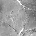
THEMIS image: Olympus Mons summit caldera

THEMIS Image of the Day, February 19, 2014. This VIS image shows the central portion of the complex caldera at the summit of Olympus Mons. More THEMIS Images of the Day by geological topic.

Posted in Reports | Tagged , , , , , , , , , | Comments Off

Ground ice in fresh craters down to 39° north

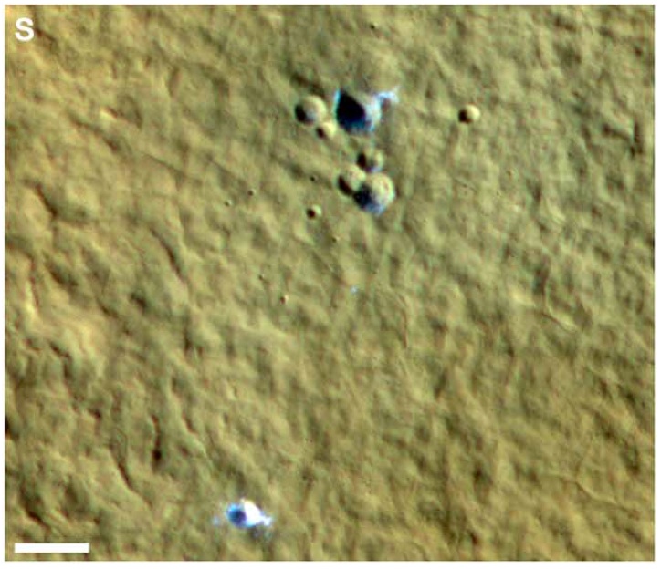
Since 2008, the HiRISE camera on the Mars Reconnaissance Orbiter has imaged 20 small impact craters and crater clusters that expose fresh ground ice. A paper in the Journal of Geophysical Research from a team led by Colin Dundas (USGS Flagstaff) reviews the 20 known sites.

Ground ice exposed in the floor of craters on Mars

RECORD-SETTER — FOR NOW. This cluster of small craters lies at latitude 39° north, and exposes bright material — ice, most likely. The scale bar is 20 meters (66 feet) long. The impacts occurred between July and October 2012, and the cluster is the lowest latitude exposure of ground ice known so far. (Image taken from Figure 1 in the paper.)

The prize for the most equatorial ice-revealing crater (so far) goes to a crater cluster at 39.1° N, 190.3° E. The biggest ice-bottomed crater in the group is 12 meters (40 feet) wide. The impacts came sometime between July and October, 2012. Two other sites record the first southern hemisphere exposures of ice.

The team notes that the apparent distribution of ice-exposing craters in longitude around the northern hemisphere strongly reflects selection effects, as it closely follows the distibution of dust. Fresh craters of all kinds (ice-bearing or not) show up better on a dusty surface, thanks to the impact blast clearing away light-=tone dust to leave a highly visible dark splat mark.

Exposed ice appears bright, and the team suggests it represents “excess ice.” This is ice that forms in addition to that within the pore spaces of soil. As such, it may be leftover ice from a previous ice age, or an unusually humid near-surface atmosphere, or perhaps salts in the soil lower the vapor pressure at the ice table’s depth.

Ice in and around the craters remains visibly bright for months to years, indicating that it is clean ice rather than ice-cemented regolith. Observations of the craters suggest small-scale heterogeneities in this excess ice.

“The origin of such ice is uncertain,” the scientists write. “Ice lens formation by migration of thin films of liquid is most consistent with local heterogeneity in ice content and common surface boulders, but in some cases, nearby thermokarst landforms suggest large amounts of excess ice that may be best explained by a degraded ice sheet.”
Posted in Reports | Tagged , , , , , , , , , | Comments Off

HiRISE image: Dunes in formation

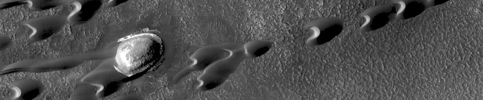
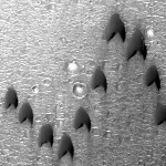
Migratory birds and military aircraft — like during World War II — often fly in a V-shaped formation. The “V” formation greatly boosts the efficiency and range of flying birds, because all except the first fly in the upward motion of air — called upwash — from the wingtip vortices of the bird ahead. In this image of a dune field in a large crater near Mawrth Vallis, some of the dunes appear to be in formation…. [More at link]

Posted in Reports | Tagged , , , , , , , , | Comments Off

Curiosity raw image: Sol 546, February 18, 2014

Curiosity’s left Navigation Camera looks southwest, with Gale Crater’s western rim in the background at right and Mount Sharp rising on the left. This image was taken by Navcam: Left B (NAV_LEFT_B) onboard NASA’s Mars rover Curiosity on Sol 546 (2014-02-18 04:58:49 UTC). (For a low-to-the-road view, see what the left front Hazcam saw a minute or two earlier.) More Sol 546 images (all cameras).

Posted in Reports | Tagged , , , , , , | Comments Off

HiRISE image: High-latitude crater

Beautiful Mars series: High-latitude (72° N) crater, with frost vanishing from its interior walls as spring advances. More Beautiful Mars images.

Posted in Reports | Tagged , , , , , , , , , | Comments Off

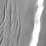
THEMIS image: Olympus Mons summit

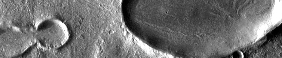
THEMIS Image of the Day, February 18, 2014. Today’s VIS image shows the eastern portion of the complex caldera at the summit of Olympus Mons. More THEMIS Images of the Day by geological topic.
Posted in Reports | Tagged , , , , , , , , , | Comments Off

Curiosity raw image: Sol 545, February 17, 2014

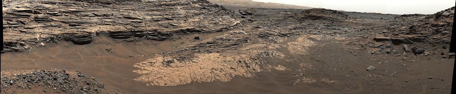
Flat exposures of layered outcrops, some perhaps with crossbedding. This image was taken by Navcam: Right B (NAV_RIGHT_B) onboard NASA’s Mars rover Curiosity on Sol 545 (2014-02-17 04:50:41 UTC). More Sol 545 images (all cameras).

Posted in Reports | Tagged , , , , , , , | Comments Off

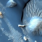
HiRISE image: Ridges, mounds, dune seas in Aram

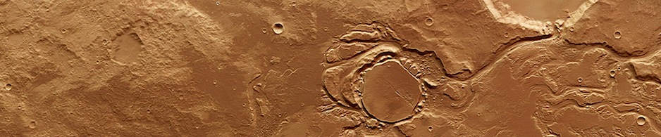
Beautiful Mars series: Ridges, mounds, and dune seas in Aram Chaos. More Beautiful Mars images.

Posted in Reports | Tagged , , , , , , , , , , , | Comments Off

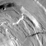
THEMIS image: Ascaeus Mons summit

THEMIS Image of the Day, February 17, 2014. This VIS image shows the eastern part of the complex caldera at the summit of Ascraeus Mons. More THEMIS Images of the Day by geological topic.

Posted in Reports | Tagged , , , , , , , , , | Comments Off

Opportunity panorama: McClure-Beverlin Escarpment

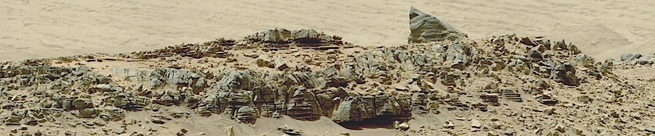
The boulder-studded ridge in this scene recorded by NASA’s Mars Exploration Rover Opportunity is “McClure-Beverlin Escarpment,” informally named for Jack Beverlin and Bill McClure, engineers who on Feb. 14, 1969, risked their lives to save NASA’s second successful Mars mission, Mariner 6, on its launch pad. This view toward the south is a mosaic of images taken by Opportunity’s panoramic camera (Pancam) during the 3,527th Martian day, or sol, of the rover’s work on Mars (Dec. 25, 2013). The rover team plans to use Opportunity during 2014 to investigate rock layers exposed…. [More, including a stereo image, at the link]

Posted in Reports | Tagged , , , , , , , | Comments Off