Mars gullies not carved by flowing water?

PIA20763_hiresNew findings using data from NASA’s Mars Reconnaissance Orbiter show that gullies on modern Mars are likely not being formed by flowing liquid water. This new evidence will allow researchers to further narrow theories about how Martian gullies form, and reveal more details about Mars’ recent geologic processes. [The findings were published in Geophysical Research Letters.]

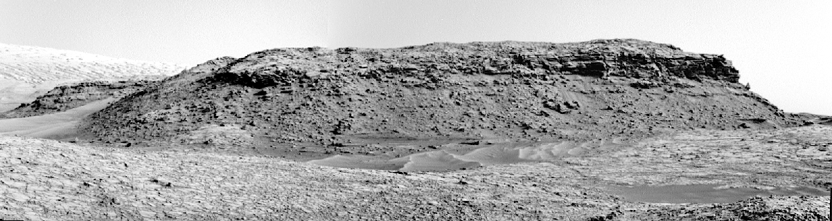
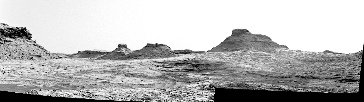
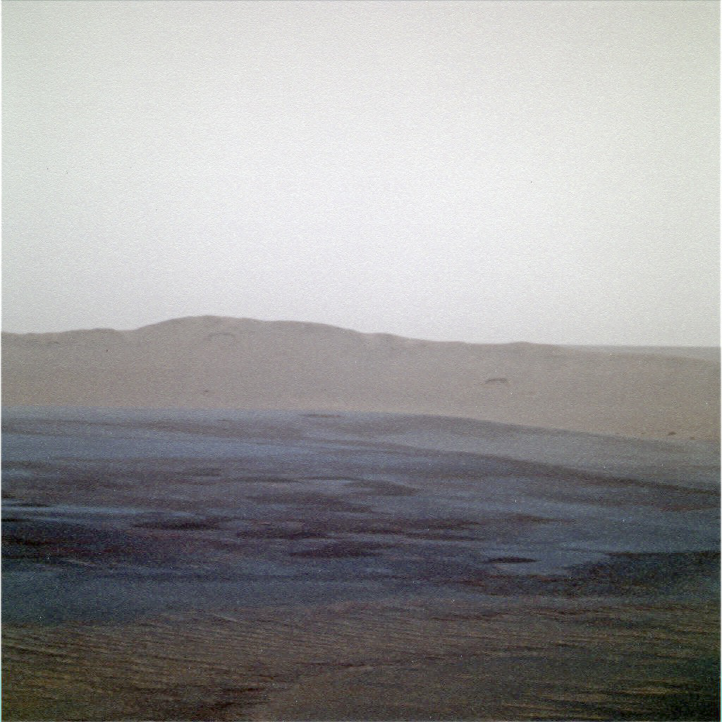
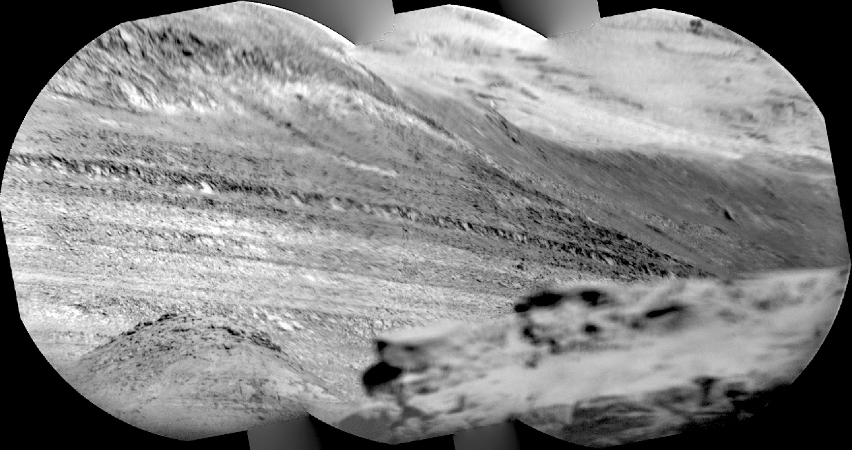
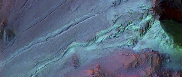
Scientists use the term “gully” for features on Mars that share three characteristics in their shape: an alcove at the top, a channel, and an apron of deposited material at the bottom. Gullies are distinct from another type of feature on Martian slopes, streaks called “recurring slope lineae,” or RSL. (…)

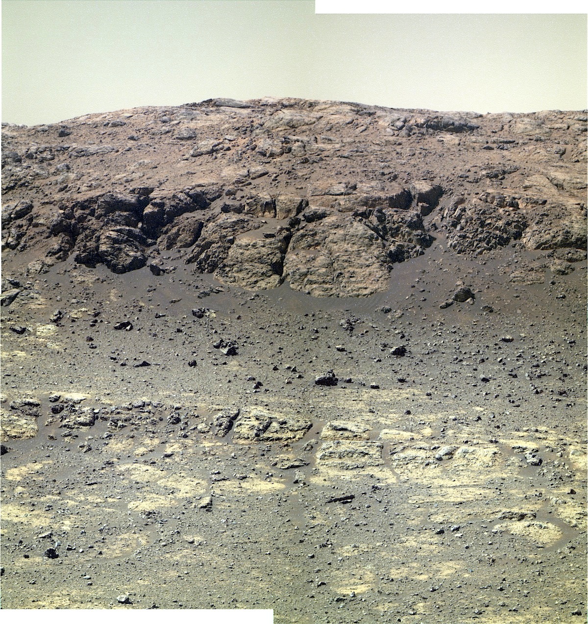
The findings showed no mineralogical evidence for abundant liquid water or its by-products, thus pointing to mechanisms other than the flow of water — such as the freeze and thaw of carbon dioxide frost — as being the major drivers of recent gully evolution.

“The HiRISE team and others had shown there was seasonal activity in gullies — primarily in the southern hemisphere — over the past couple of years, and carbon dioxide frost is the main mechanism they suspected of causing it. However, other researchers favored liquid water as the main mechanism,” said Jorge Núñez of APL, the lead author of the paper. (…) “To bring another important piece in to help solve the puzzle, we used CRISM, an imaging spectrometer, to look at what kinds of minerals were present in the gullies and see if they could shed light on the main mechanism responsible.”

Núñez and his colleagues took advantage of a new CRISM data product called Map-projected Targeted Reduced Data Records. It allowed them to more easily perform their analyses and then correlate the findings with HiRISE imagery. [More at links; see also here]

Posted in Reports | Tagged , , , , , , | Comments Off

Curiosity: Balanced Rock & Murray Buttes

1414-navcam-mesa-rock1387MR0068150080701911E01_DXXXSol 1414, July 29, 2016. As Curiosity’s Navcam profiles the nearby mesas among the Murray Buttes, it gets another look at Balanced Rock on the right side of the mesa above. (Balanced Rock was last seen here back on Sol 1387; a Mastcam image from then is at right.)

Below, two more frames from the same horizon composite, overlapping on the left with the above image. (Click either panorama to enlarge it.)

Sol 1414 raw images (from all cameras), and Curiosity’s latest location.

1414-navcam-mesas-right

Posted in Reports | Tagged , , , , , , , , , , , | Comments Off

THEMIS: Drifting sand from Baetis Mensa

Drifting sands of Baetis Mensa (THEMIS_IOTD_20160729)THEMIS Image of the Day, July 29, 2016. Today’s false color image shows the northern tip of Baetis Mensa. In false color images dark blue is often basaltic sands. In this image it is possible to trace the sands from the erosion of Beatis Mensa moving down the canyon gullies to the floor of Ophir Chasma. The THEMIS camera contains 5 filters. The data from different filters can be combined in multiple ways to create a false color image. These false color images may reveal subtle variations of the surface not easily identified in a single band image.

More THEMIS Images of the Day by geological topic.

Posted in Reports | Tagged , , , , , , , , , | Comments Off

Opportunity: Rocks of Gibraltar II

4446_7-pancam-gibraltarIISol 4446-47, July 27-28, 2016. The rover’s Pancam is shooting a multi-color composite of an area on the north wall of Marathon Valley dubbed Gibraltar II.

Below: the floor of Endeavour Crater, looking southeast about 10 in the morning; also by the Pancam. (False-color versions by Holger Isenberg; click either image to enlarge it.)

Opportunity raw images, its latest mission status, a location map. and atmospheric opacity, known as tau.

1P522960360EFFCRLIP2637L5M1_L4L5L5L5L6

Posted in Reports | Tagged , , , , , , , | Comments Off

ExoMars 2016: Engine burn gives mission a kick

ExoMars2016_TGO_EDM_Cruise_20160218_1280Following a lengthy firing of its powerful engine this morning, ESA’s ExoMars Trace Gas Orbiter is on track to arrive at the Red Planet in October.

ExoMars made its first critical manoeuvre since its 14 March launch this morning, firing its engine for 52 minutes to help it intercept Mars on 19 October.

ExoMars, a joint mission with Russia’s Roscosmos, was launched on 14 March and has already travelled well over half way of its nearly 500 million km journey.

The ExoMars Trace Gas Orbiter, TGO, is carrying the Schiaparelli entry, descent and landing demonstrator. Upon arrival, Schiaparelli will test the technology needed for the 2020 rover to make a controlled landing, while its parent craft will brake into an elliptical orbit around Mars.

Over the following months, TGO will shave the outer reaches of the atmosphere  to lower its orbit. Its final circular orbit at about 400 km altitude will allow it to begin its five-year scientific mission in December 2017. [More at link]

Posted in Reports | Tagged , , , , , , , | Comments Off

Curiosity: Remote imaging of faraway layers

1413-rmiSol 1413, July 28, 2016. Curiosity’s Remote Micro-Imager (RMI) takes aim to the south-southwest. The view is over the Murray Buttes (foreground, out-of-focus) toward the distant slopes of Mt. Sharp, where the RMI records a few of its many layers.

The view shows mostly Mt. Sharp’s dark lower layers, which scientists think are water-altered sediments dating from when Gale Crater contained a lake (or lakes) in the past. At top right are the mound’s light-toned upper layers, probably wind-blown sediments with little or no alteration by water. Click image to enlarge it.

Sol 1413 raw images (from all cameras), and Curiosity’s latest location.

Posted in Reports | Tagged , , , , , , , , , | Comments Off

MAVEN begins deep-dip campaign #6

13508914_10154436813782868_6936271965587493287_nThe MAVEN navigation team executed maneuvers on Tuesday and Wednesday of this week that provided a total delta-V (∆V) of 4.0 m/sec. to the spacecraft and lowered the periapsis (lowest altitude) by a total of 24.5 km to 120.5 km above the Martian‬ surface.

This Deep Dip campaign—the 6th of the mission to-date—is located in shadow near midnight on the red planet, and spans both sides of Mars‬’ equator. [More at link]

Posted in Reports | Tagged , , , | Comments Off

Curiosity update: Keep on truckin’

FRB_522844244EDR_F0560774FHAZ00302M_Sol 1414-16, July 27, 2016, update from USGS scientist Ken Herkenhoff: MSL drove over 45 meters on Sol 1412, to a location with lots of bedrock exposed but most of it is coated by dust.  So again we decided not to deploy the arm and acquire lots of ChemCam data instead.  LIBS observations of targets named “Okahandja,” “Swakopmund,” and “Walvis Bay” will be followed by another long-distance RMI mosaic.  Then the Right Mastcam will image the ChemCam targets and acquire a 5-image mosaic of…  [More at link]

Posted in Reports | Tagged , , , , , , , , , , , , , | Comments Off

THEMIS: Ridges and rubble in Ius Chasma

Ridges and rubble in Ius Chasma (THEMIS_IOTD_20160728)THEMIS Image of the Day, July 28, 2016. Today’s false color image shows part of Ius Chasma. The THEMIS camera contains 5 filters. The data from different filters can be combined in multiple ways to create a false color image. These false color images may reveal subtle variations of the surface not easily identified in a single band image.

More THEMIS Images of the Day by geological topic.

Posted in Reports | Tagged , , , , , , , , , , | Comments Off

MARCI weather report, July 18-24, 2016

releaseimg_160718_160724Continued extensive dust-lifting over the northern plains this past week with storms dipping southward to Deuteronilus and the Phlegra Montes. Dust storms along the receding seasonal south polar ice cap edge were small, short-lived, and sporadic in Sirenum and Noachis. Diffuse afternoon water-ice clouds were observed over Tyrrhena, Tempe, Alba, and… [More at link, including video]

Posted in Reports | Tagged , , , , , , , , , , , , , | Comments Off