


 Sol 3798, September 30, 2014. The big rock on the rim of Ulysses Crater, as seen in a false-color image created by Holger Isenberg using filtered Pancam frames.
Opportunity raw images, its latest mission status, and a location map.
Sol 3798, September 30, 2014. The big rock on the rim of Ulysses Crater, as seen in a false-color image created by Holger Isenberg using filtered Pancam frames.
Opportunity raw images, its latest mission status, and a location map.
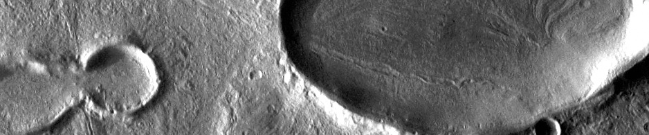
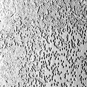 THEMIS Image of the Day, October 6, 2014. This VIS image of the south pole shows a surface with numerous oval depressions. This texture has been described as looking like swiss cheese.
More THEMIS Images of the Day by geological topic.
Sol 768-770, October 3, 2014, update from USGS Scientist Ken Herkenhoff: “The tactical team took a day off Thursday to make the transition from restricted (every other day) to nominal (daily) planning. That meant that, to complete all of…” [More at link]
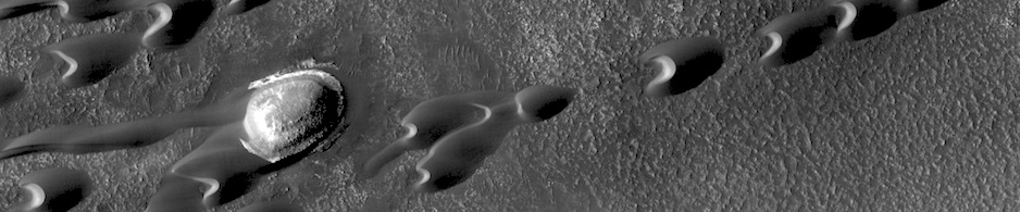
 Nili Patera is a region on Mars in which dunes and ripples are moving rapidly. HiRISE continues to monitor this area every couple of months to see changes over seasonal and annual time scales. Here we see obvious activity over a span of less than two Earth years. Three prominent changes are obvious: 1) the dunes are migrating… [More at link]
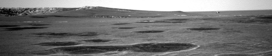
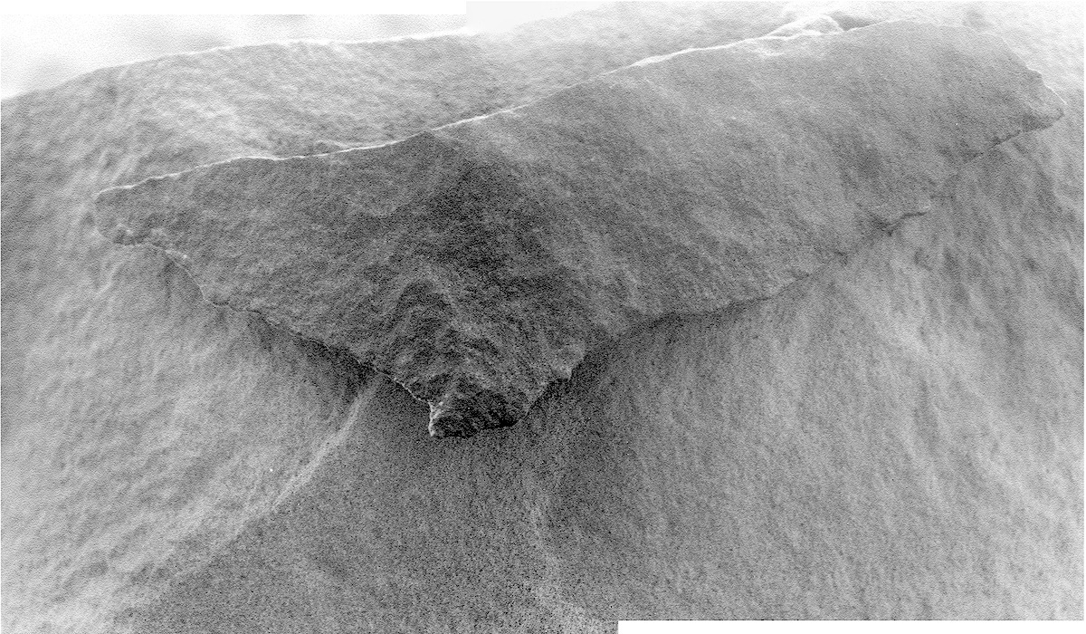 Sol 3800 (!), October 2, 2014. The Microscopic Imager captures shards of rock on the rim of Ulysses Crater, in a two-frame composite. Below: what the Hazcam saw (contrast adjusted).
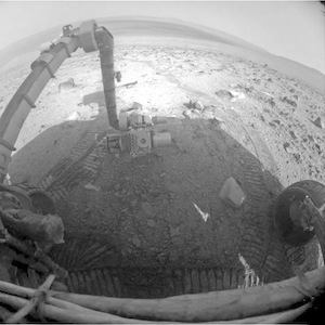 Opportunity raw images, its latest mission status, and a location map.
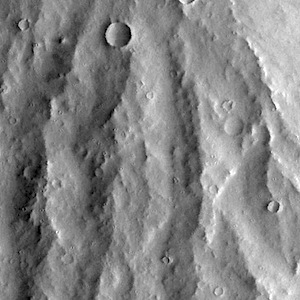 THEMIS Image of the Day, October 3, 2014. This VIS image of Apollineris Mons shows erosion of the materials on its southern flank.
More THEMIS Images of the Day by geological topic.
 Oxia Planum is broad clay-bearing surface between Mawrth and Ares Vallis that has been proposed as a future landing site on Mars. Remnants of a possible fan or delta near the outlet of Coogoon Vallis is a potential science target at this location. [More at link]
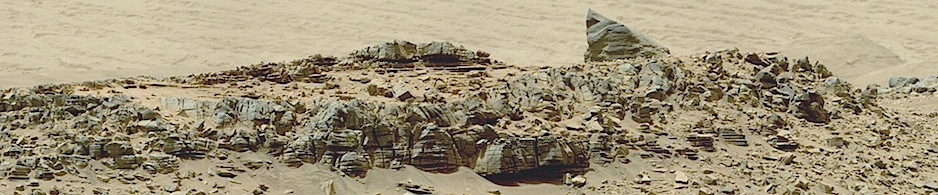
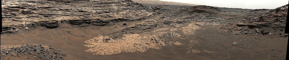
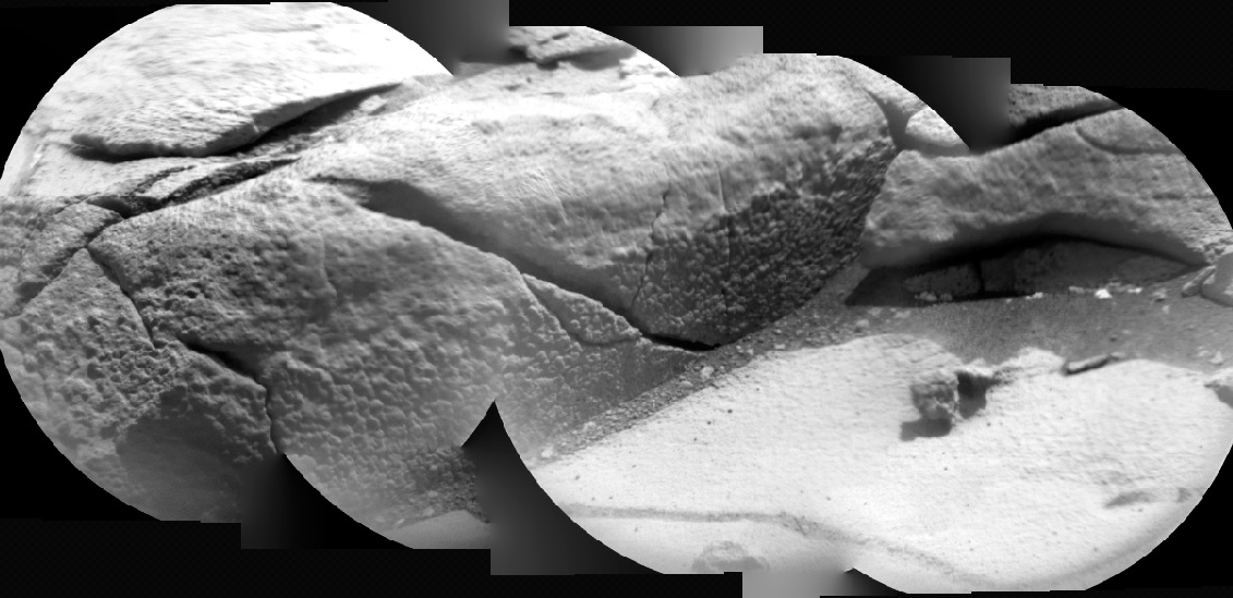 Sol 766, October 2, 2014. A four-image composite view by the Remote Micro-Imager of a small outcrop lying several yards in front of of the rover.
Sol 766 raw images (from all cameras), and Curiosity’s latest location map.
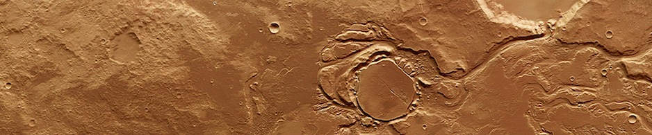
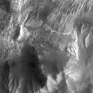 THEMIS Image of the Day, October 2, 2014. This VIS image shows a portion of Hebes Chasma.
More THEMIS Images of the Day by geological topic.
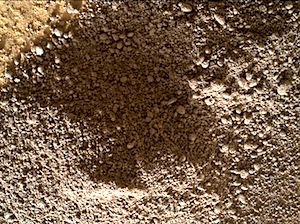 Sol 767, October 1, 2014, update from MSL Scientist Lauren Edgar: “Curiosity continues to investigate the Pahrump Hills outcrop. The Sol 767 plan includes MAHLI and APXS observations of the target Morrison, as well as MAHLI images of the drill hole and dump pile (the dump pile consists of the part of the drilled sample that did not make it through the 150-micron sieve). Today’s plan also includes…” [More at link]