

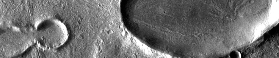
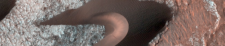
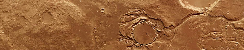
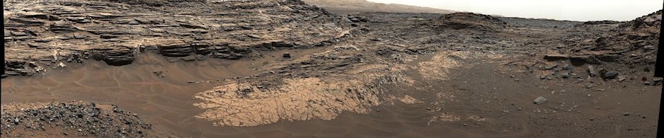
 THEMIS Image of the Day, September 26, 2014. This VIS image spans Candor Chasma.
More THEMIS Images of the Day by geological topic.
THEMIS Image of the Day, September 26, 2014. This VIS image spans Candor Chasma.
More THEMIS Images of the Day by geological topic.
 NASA’s Curiosity Mars rover has collected its first taste of the layered mountain whose scientific allure drew the mission to choose this part of Mars as a landing site.
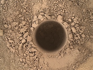 Late Wednesday, Sept. 24, the rover’s hammering drill chewed about 2.6 inches (6.7 centimeters) deep into a basal-layer outcrop on Mount Sharp and collected a powdered-rock sample. Data and images received early Thursday at NASA’s Jet Propulsion Laboratory, Pasadena, California, confirmed success of this operation. The powder collected by the drilling is temporarily held within… [More at link]
Sol 761, September 25, 2014, update from USGS Scientist Ken Herkenhoff: “The Sol 759 drill hole looks good, but there was a problem with one of the rover’s gyroscopes that halted the transfer of drill sample to the scoop. This did not…” [More at link]
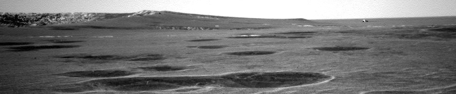
 Sol 3793, September 25, 2014. The front Hazcam shows Opportunity at work in the local afternoon on rock targets Hoover and Raimund lying on the rim of Ulysses Crater. (The thumbnail has its contrast adjusted to deal with lens flare.)
 False-color image of Hoover (rock at top), as created by Holger Isenberg using filtered Pancam frames.
Opportunity raw images, its latest mission status, and a location map.
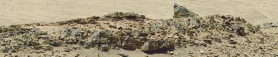
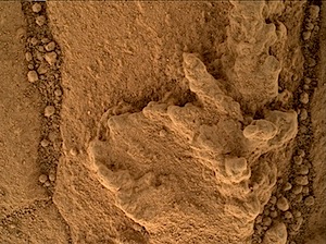 Sol 758, September 24, 2014. The Mars Hand Lens Imager (MAHLI) took this close-up image showing surface texture and cracks in the Pahrump bedrock.
NASA description: Using an onboard focusing process, the Mars Hand Lens Imager (MAHLI) aboard NASA’s Mars rover Curiosity created this product by merging two to eight images previously taken by the MAHLI, located on the turret at the end of the rover’s robotic arm.
Sol 758 raw images (from all cameras), and Curiosity’s latest location map.
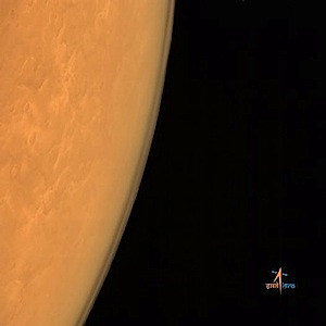 Martian atmosphere as seen from an altitude of 8449 km. Image taken using Mars Color Camera.
For flight updates and info, see also the main mission page.
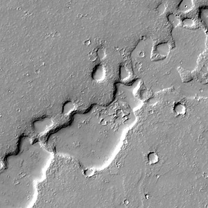 This chain of pits. Beautiful Mars series.
 Taken from a height of 7300 km; with 376 m spatial resolution. (For flight updates and info, see also the main mission page.)
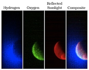 NASA’s Mars Atmosphere and Volatile Evolution (MAVEN) spacecraft has obtained its first observations of the extended upper atmosphere surrounding Mars. The Imaging Ultraviolet Spectrograph (IUVS) instrument obtained these false-color images eight hours after the successful completion of Mars orbit insertion by the spacecraft… The image shows the planet from an altitude of 36,500 km in three ultraviolet wavelength bands. Blue shows the ultraviolet light from the Sun scattered from atomic hydrogen gas in an extended cloud that goes to thousands of kilometers above the planet’s surface. Green shows a different wavelength of ultraviolet light that is primarily sunlight reflected off of atomic oxygen, showing the smaller oxygen cloud. Red shows ultraviolet sunlight reflected from the planet’s surface; the bright spot in the lower right is light reflected either from polar ice or clouds… [More at link]
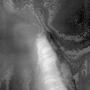 THEMIS Image of the Day, September 25, 2014. The ridge in today’s VIS image is the rim of a crater near the south polar cap.
More THEMIS Images of the Day by geological topic.