
Curiosity update: ‘Drill, baby, drill!’

Sol 759-760, September 23, 2014, update from USGS Scientist Ryan Anderson: “It’s time to drill! The mini-drill over the weekend showed that the Pahrump Hills outcrop is nice and stable, so the main activity in the sol 759 plan is a full drill and… [More at link]
Posted in Reports | Tagged , , , , , , , | Comments Off

MARCI weather report: September 15-21, 2014

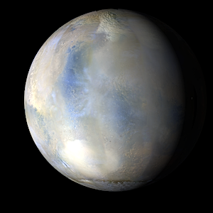
releaseimg_140915_140921Regional storm activity picked up in the northern hemisphere, with large storms occurring from Utopia to Arcadia and arcuate-shaped storms following the Acidalia storm track into Chryse. Even in the caldera of Olympus Mons caldera, a small spiral-type, “Lee” dust storm occurred this past week… [More at link, including video]


Posted in Reports | Tagged , , , , , , , , , , | Comments Off

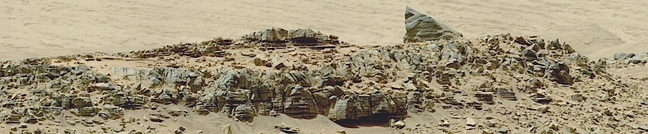
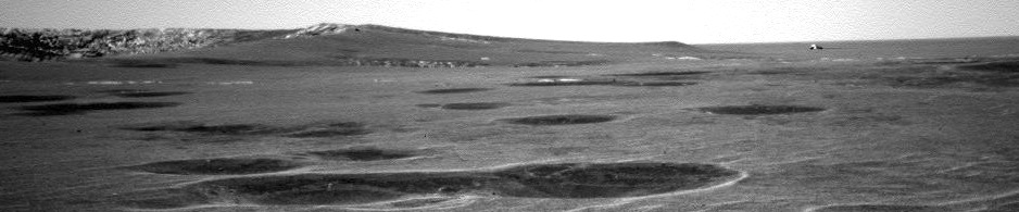
Curiosity: The Pahrump Hills

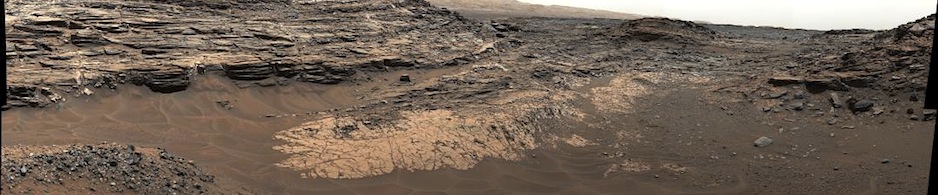
758-pahrump-panSol 758, September 23, 2014. Sitting on the sheet of exposed and cracked bedrock at the foot of the Pahrump Hills, Curiosity’s Navcam shoots a five-image composite of the feature’s mesas as they frame Mount Sharp (background left). If the Pahrump bedrock is the basal unit under the mound, then about 5 vertical kilometers (3 miles) of sediments separate the bedrock from Mount Sharp’s summit.

Sol 758 raw images (from all cameras), and Curiosity’s latest location map.

Posted in Reports | Tagged , , , , , , , | Comments Off

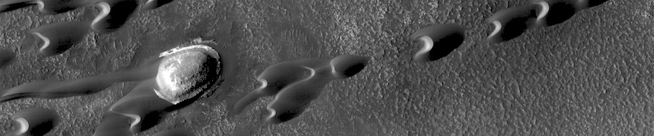
HiRISE: Pits and troughs in Tempe Terra

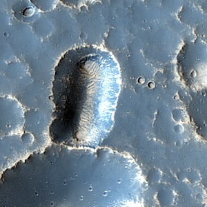
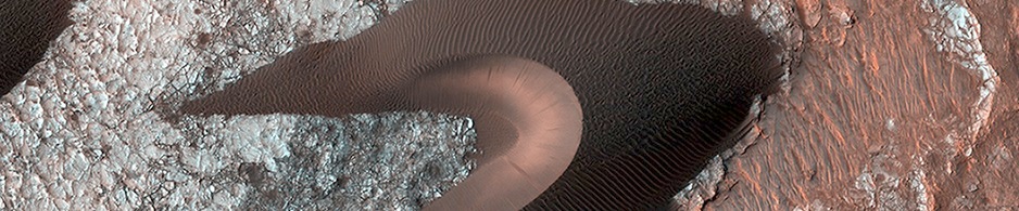
tumblr_ncdigcg7zN1rlz4gso1_1280Pits and troughs in Tempe Terra. Beautiful Mars series.

Posted in Reports | Tagged , , , , , , , , , | Comments Off

THEMIS: Terra Sirenum

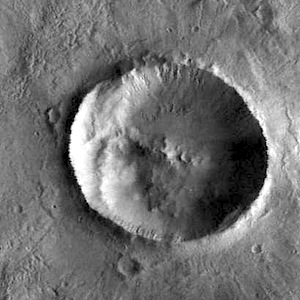
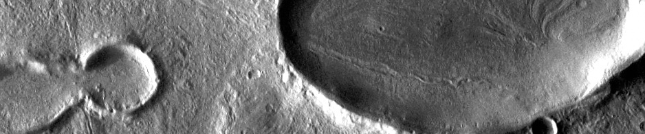
Gullies and ejecta in Terra Sirenum (THEMIS_IOTD_20140924)THEMIS Image of the Day, September 24, 2014. Located on the floor of an unnamed crater in Terra Sirenum, the crater in the center of the VIS image has numerous gullies on the inner rim. An ejecta deposit from a nearby crater is visible at the bottom on this image.

More THEMIS Images of the Day by geological topic.

Posted in Reports | Tagged , , , , , , , , , | Comments Off

Liquid water and water Ice on Gale Crater, Mars

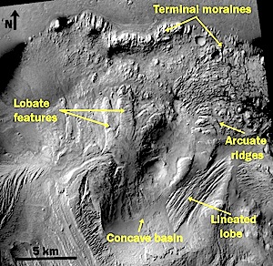
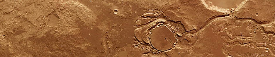
image-1Planetary Geomorphology Image of the Month, September 2014: Alberto G. Fairén, (Cornell University and Centro de Astrobiología, Spain).

Gale Crater, the site of the currently active Mars Science Laboratory (MSL) or Curiosity Rover mission, is a ~154-km-diameter impact crater formed during the Late Noachian/Early Hesperian at the dichotomy boundary on Mars (Cabrol et al., 1999; Anderson and Bell III, 2010; Wray, 2013). The northern floor and rim of Gale are ~1–2 km lower in elevation than its southern floor and rim, and the crater shows a layered central mound named Aeolis Mons, which is 100 km wide, extends over an area of 6000 km2, and is up to 5 km in height (Malin and Edgett, 2000)…. [More at link]

Posted in Reports | Tagged , , , , , , , | Comments Off

Mars Orbiter Mission: In Mars orbit

1150989_1556039351286088_2138285443877585396_nFor flight updates, see also the main mission page.

Posted in Reports | Tagged , , , | Comments Off

HiRISE: Searching for evidence of ice and rock

tumblr_ncbojrFWNY1rlz4gso1_1280Searching for evidence of ice and rock. Beautiful Mars series.

Posted in Reports | Tagged , , , , , , , | Comments Off

Mars Orbiter Mission: Arrival tomorrow

10689929_1555826887974001_4721260124625119797_nFor flight updates, see also the main mission page.

Posted in Reports | Tagged , , , | Comments Off

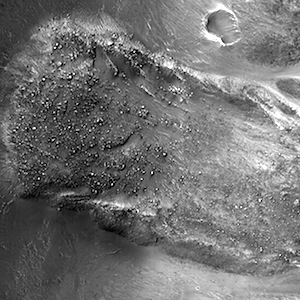
HiRISE: Bouldery landslide

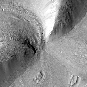
tumblr_ncbp581gSw1rlz4gso1_1280Bouldery landslide. Beautiful Mars series.

Posted in Reports | Tagged , , , , , , , , | Comments Off