
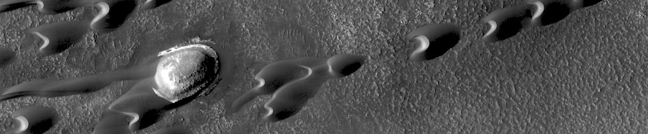

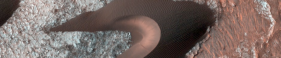
 THEMIS Image of the Day, June 30, 2014. Today’s VIS image shows dunes on the margin of Olympia Undae, a large dune field near the north pole.
More THEMIS Images of the Day by geological topic.
THEMIS Image of the Day, June 30, 2014. Today’s VIS image shows dunes on the margin of Olympia Undae, a large dune field near the north pole.
More THEMIS Images of the Day by geological topic.
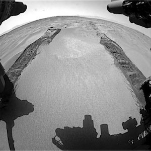 Making tracks in reverse through a field of sand ripples, one of many ahead of the rover.
NASA description: This image was taken by Front Hazcam: Right B (FHAZ_RIGHT_B) onboard NASA’s Mars rover Curiosity on Sol 672 (2014-06-27 14:58:46 UTC).
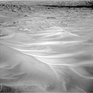 NASA description: This image was taken by Navcam: Left B (NAV_LEFT_B) onboard NASA’s Mars rover Curiosity on Sol 672 (2014-06-27 15:00:44 UTC).
 NASA description: This image was taken by Navcam: Left B (NAV_LEFT_B) onboard NASA’s Mars rover Curiosity on Sol 672 (2014-06-27 15:08:34 UTC).
Sol 672 raw images (from all cameras), and Curiosity’s latest location map.
The vast majority of the planet’s crust is unaltered igneous rock although there are some occurrences of aqueously altered rocks linked to past water activity. The colors here show concentrations of different minerals common in rocks that might tell us about processes that happened in Mars’ past. The green/cyan color denotes a variety of a mineral called pyroxene that has an unusually low content of… [More at link]
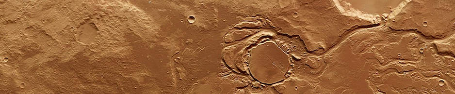
Syrtis Major region crater chain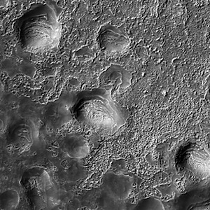 . Beautiful Mars series.
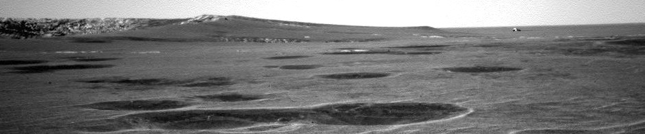
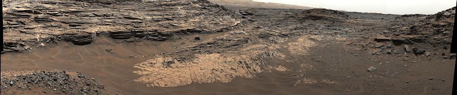
Preparing to examine an embedded outcrop on the western flank of Murray Ridge; the flat horizon of Meridiani Planum lies in the background.
Opportunity raw images, its latest mission status, and a location map. (A shortcut to Sol 3705 front Hazcam images is here.)
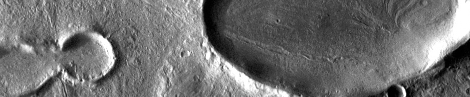
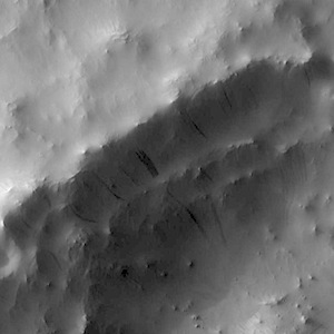 THEMIS Image of the Day, June 27, 2014. Dark slope streaks mark the rim of this unnamed crater in Terra Sabaea.
More THEMIS Images of the Day by geological topic.
View looking back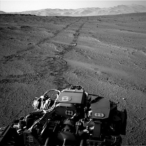 to the north-northeast in late afternoon on a day that saw a 115-meter (380-foot) drive, ending in a turnaround to position the rover to drive on in reverse.
NASA description: This image was taken by Navcam: Left B (NAV_LEFT_B) onboard NASA’s Mars rover Curiosity on Sol 671 (2014-06-26 16:50:45 UTC).
Sol 671 raw images (from all cameras), and Curiosity’s latest location map.
Sol 671, June 26, 2014, update on Curiosity from U.S. Geological Survey scientist Ryan Anderson: “After a 107 m drive on sol 670, we are now in Shoshone quad, and just 160 m from the edge of the landing ellipse! The sol 671 plan is a lot like…” [More at link]
 A two-frame Pancam composite image looks over the summit of Solander Point’s Murray Ridge, which Opportunity has been climbing since August 2013. In the background rises the higher summit of Cape Tribulation, the next rim segment to the south. It looks nearby, but the rover still needs to drive about 2 kilometers (1.2 miles) farther south to get there. Spectroscopic data from orbit shows that Cape Tribulation has a large exposure of clay minerals near its summit.
Opportunity raw images, its latest mission status, and a location map.
Sol 670, June 24, 2014, update on Curiosity from U.S. Geological Survey scientist Ryan Anderson: “After yesterday’s drive of around 39 m, we are just 24 m away from the boundary of the Shoshone quad! The landing site is divided up into.…” [More at link]