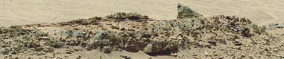
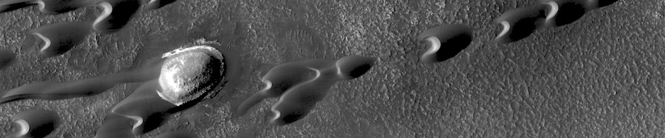
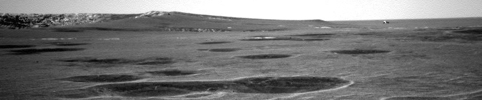

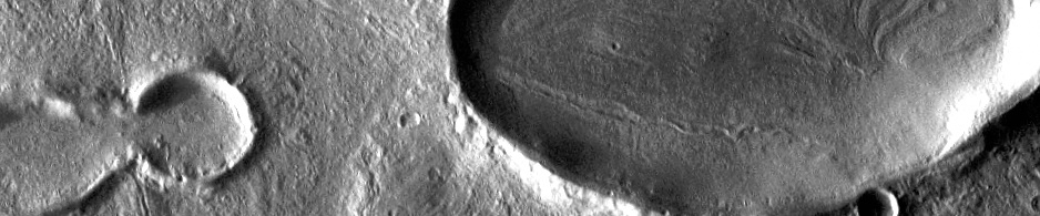
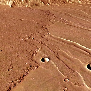
HiRISE: Lava contacts south of Athabasca Valles

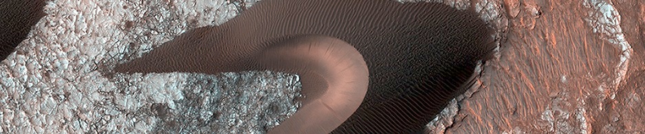
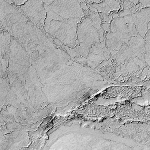
Beautiful Mars series: Lava contacts south of Athabasca Valles. More Beautiful Mars images.
Posted in Reports | Tagged , , , , , , , , , , | Comments Off

HRSC: Daedalia Planum closeup

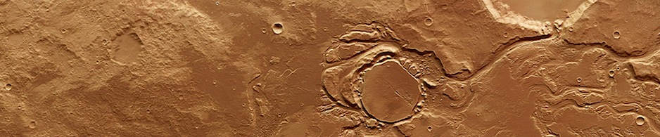
Close-up view of the two dominant lava flows that reach the foot of the highland terrain (seen at the top of the image in this orientation). The older of the two eruptions produced the smooth lava surface to the south of the island (right), which later experienced extensive faulting. The younger lava flow (left) has a rougher texture and overlies the faulted lava plain, and therefore occurred later, with some of the lava flowing into the troughs. This region was imaged by the high-resolution stereo… [More at link, including views from different perspectives]

Posted in Reports | Tagged , , , , , , , , , , , , , | Comments Off

THEMIS: Ceraunius Tholus

Multiple channels dissect the northern flank of Ceraunius Tholus in this VIS imageTHEMIS Image of the Day, March 6, 2014. Multiple channels dissect the northern flank of Ceraunius Tholus in this VIS image. More THEMIS Images of the Day by geological topic.

Posted in Reports | Tagged , , , , , , , , , , , | Comments Off

MARCI weather report: February 24-March 2, 2014

In the northern hemisphere, dust raising occurred north of Tempe and into Acidalia and dust haze was present over Olympia. In the south, local dust storms were observed in Aonia, Syria, and north of Valles Marineris. Diffuse water ice clouds associated with the aphelion cloud belt were present at tropical latitudes. Winter frost was visible in Argyre. Afternoon skies were relatively clear and storm-free over the Opportunity rover site at Endeavor Crater and the Curiosity rover site at Gale Crater… [More at link, including video]

Posted in Reports | Tagged , , , , , , , , , , | Comments Off

HiRISE: Many small interesting ridges in Erythraea Fossa

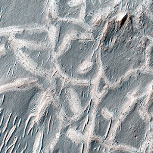
These light-toned ridges are found in a large fracture located east of Holden Crater and form a curious box-like pattern. A hair-line fracture runs along the axis of each ridge line. The overall pattern spans several hundred meters across and individual ridges are several meters wide. Scientists are not sure how they formed yet, but some possible explanations suggest that mineral-rich ground water flowed out of the hairline fractures and deposited minerals at or near the surface as the water evaporated. In addition, these minerals… [More at link]

Posted in Reports | Tagged , , , , , , , | Comments Off

HiRISE: Crater straddling two terrain units

An approximately 1-kilometer impact crater located in northern Sinus Meridiani has formed along the boundary of two different terrain units. The western part of the crater has formed along a unit consisting of wind-blown basaltic materials that overlie light-toned units exposed in the crater wall. To the east is a shallow circular depression several kilometers across that consists of multiple layers of light-toned deposits that have been eroding away. These deposits are bright in THEMIS night-time infrared and dark in day-time infrared… [More at link]

Posted in Reports | Tagged , , , , , , , , , | Comments Off

Opportunity: Sol 3594, March 4, 2014

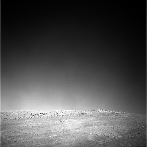
At Cook Haven, looking up Murray Ridge with Opportunity’s Navcams toward the McClure-Beverlin Escarpment on the skyline. This image makes an overlapping pair with another Navcam image showing the right (western) side of the escarpment. More Opportunity raw images, its mission status, and the rover’s latest location map.


Posted in Reports | Tagged , , , , , , , | Comments Off

HiRISE: Sand dunes in spring

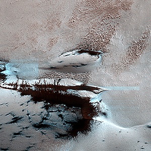
Mars’ northern-most sand dunes are beginning to emerge from their winter cover of seasonal carbon dioxide (dry) ice. Dark, bare south-facing slopes are soaking up the warmth of the sun. The steep lee sides of the dunes are also ice-free along the crest, allowing sand to slide down the dune. Dark splotches are places where ice cracked earlier in spring, releasing sand. Soon the dunes will be completely bare and all signs of spring activity will be gone.

Posted in Reports | Tagged , , , , , , , , | Comments Off

HiRISE: Don’t get lost in the North Polar Ice Cap

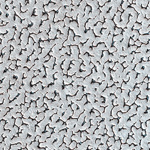
A bright ice cap of frozen water covers the North Pole of Mars. In the winter, thin coverings of carbon dioxide and water frost covers this area and these frosts finally disappear at the end of the Martian spring season. In this image, the winter frosts are about to disappear and we can begin to see the surface features of the ice. The ice cap would be a bad place to get lost: it’s one of the smoothest, flattest places on Mars so there are no landmarks visible. The surface features are gently rolling hummocks (or small mounds) and hollows… [More at link]

Posted in Reports | Tagged , , , , , , , | Comments Off

Curiosity: Sol 561, March 5, 2014

A few rocks in the path, but smooth driving ahead. Mount Sharp in the left background. This image was taken by Front Hazcam: Right B (FHAZ_RIGHT_B) onboard NASA’s Mars rover Curiosity on Sol 561 (2014-03-05 13:49:32 UTC). More Sol 561 images (from all cameras), and the rover’s latest location map.

Posted in Reports | Tagged , , , , , , | Comments Off