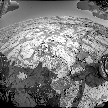
THEMIS Image of the Day, September 25, 2017. This image is located on the eastern side of Coprates Chasma, near Capri Chasma. The image shows multiple landslide features, which form lobed shaped deposits at the bottom of the canyon cliff face. Sand dunes are visible both on the landslide deposit and other parts of the canyon floor.
Coprates Chasma is one of the numerous canyons that make up Valles Marineris. The chasma stretches for 960 km (600 miles) from Melas Chasma to the west and Capri Chasma to the east. Landslide deposits, layered materials and sand dunes cover a large portion of the chasma floor.
NASA’s Mars Odyssey spacecraft has spent over 15 years in orbit around Mars, circling the planet more than 69,000 times. It holds the record for longest working spacecraft at Mars. THEMIS, the IR/VIS camera system, has collected data for the entire mission and provides images covering all seasons and lighting conditions.
Over the years many features of interest have received repeated imaging, building up a suite of images covering the entire feature. From the deepest chasma to the tallest volcano, individual dunes inside craters and dune fields that encircle the north pole, channels carved by water and lava, and a variety of other feature, THEMIS has imaged them all.
For the next several months the Image of the Day will focus on the Tharsis volcanoes, the various chasmata of Valles Marineris, and the major dunes fields. We hope you enjoy these images!
More THEMIS Images of the Day by geological topic.


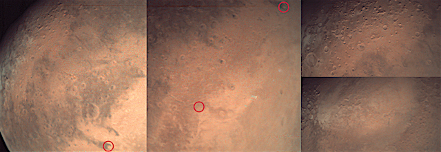
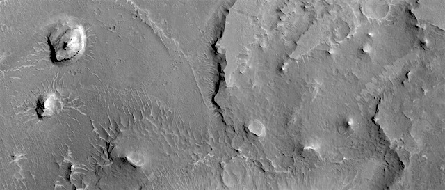 Candidate ExoMars landing site near Aram Dorsum. Beautiful Mars series.