THEMIS: Pit and dunes in Rabe Crater

Broken floor and dunes in Rabe Crater (THEMIS_IOTD_20170322)THEMIS Image of the Day, March 22, 2017. Today’s false color image shows part of the floor of Rabe Crater’s western floor, including a deep pit and a portion of the extensive dune field found in this crater. (A view of a nearby part of this crater’s floor and sheet of dunes is here.)

The THEMIS VIS camera contains 5 filters. The data from different filters can be combined in multiple ways to create a false color image. These false color images may reveal subtle variations of the surface not easily identified in a single band image.

More THEMIS Images of the Day by geological topic.

Posted in Reports | Tagged , , , , , , , , , , | Comments Off

Curiosity’s metal wheel treads show breaks

PIA21486-16A routine check of the aluminum wheels on NASA’s Curiosity Mars rover has found two small breaks on the rover’s left middle wheel-the latest sign of wear and tear as the rover continues its journey, now approaching the 10-mile (16 kilometer) mark.

The mission’s first and second breaks in raised treads, called grousers, appeared in a March 19 image check of the wheels, documenting that these breaks occurred after the last check, on Jan. 27.

“All six wheels have more than enough working lifespan remaining to get the vehicle to all destinations planned for the mission,” said Curiosity Project Manager Jim Erickson at NASA’s Jet Propulsion Laboratory, Pasadena, California. “While not unexpected, this damage is the first sign that the left middle wheel is nearing a wheel-wear milestone.” [More at link]

Posted in Reports | Tagged , , , , , , , , , | Comments Off

HiRISE: Gullies in winter shadow

ESP_049058_2360This is an odd-looking image. It shows gullies during the winter while entirely in the shadow of the crater wall. Illumination comes only from the winter skylight.

We acquire such images because gullies on Mars actively form in the winter when there is carbon dioxide frost on the ground, so we image them in the winter, even though not well illuminated, to look for signs of activity. The dark streaks might be signs of current activity, removing the frost, but further analysis is needed. [More at link]

Posted in Reports | Tagged , , , , , , , , , | Comments Off

THEMIS: Arabia Terra crater in false color

Arabia Terra crater in false color (THEMIS_IOTD_20170321)THEMIS Image of the Day, March 21, 2017. Today’s false color image shows the floor of an unnamed crater in Arabia Terra.

The THEMIS VIS camera contains 5 filters. The data from different filters can be combined in multiple ways to create a false color image. These false color images may reveal subtle variations of the surface not easily identified in a single band image.

More THEMIS Images of the Day by geological topic.

Posted in Reports | Tagged , , , , , , , , | Comments Off

Curiosity update: First half of long-baseline stereo

NLB_543263205EDR_F0612740NCAM00312M_Sol 1643, March 20, 2017, update by USGS scientist Ken Herkenhoff: MSL drove about 28 meters toward the south on Sol 1642 and again is in an area with Murray Formation bedrock blocks surrounded by dark sand.  I helped plan ChemCam observations today, and we settled on a target called “Vinalhaven” at the left side of the layered bedrock exposure seen at upper left in this image.  Right Mastcam will image Vinalhaven and coarse material to the right of that bedrock block, at targets named “Rindgemere” and “Hurd Mountain.”  Then Right Mastcam will image more distant targets, with a 3×1 mosaic of a layered rock about 11 meters away dubbed “Saint Daniel” and a 28×1 mosaic of the hematite-bearing “Vera Rubin Ridge”… [More at link]

Posted in Reports | Tagged , , , , , | Comments Off

Arsia Mons turned off its volcanic activity about 50 million years ago

PIA00177-16
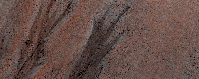
New NASA research reveals that the giant Martian volcano Arsia Mons produced one new lava flow at its summit every 1 to 3 million years during the final peak of activity. The last volcanic activity there ceased about 50 million years ago…

Located just south of Mars’ equator, Arsia Mons is the southernmost member of a trio of broad, gently sloping shield volcanoes collectively known as Tharsis Montes. Arsia Mons was built up over billions of years, though the details of its lifecycle are still being worked out. The most recent volcanic activity is thought to have taken place in the caldera-the bowl-shaped depression at the top — where 29 volcanic vents have been identified. Until now, it’s been difficult to make a precise estimate of when this volcanic field was active.

“We estimate that the peak activity for the volcanic field at the summit of Arsia Mons probably occurred approximately 150 million years ago — the late Jurassic period on Earth — and then died out around the same time as Earth’s dinosaurs,” said Jacob Richardson, a postdoctoral researcher at NASA’s Goddard Space Flight Center in Greenbelt, Maryland. “It’s possible, though, that the last volcanic vent or two might have been active in the past 50 million years, which is very recent in geological terms.”

Richardson is presenting the findings on March 20, 2017, at the Lunar and Planetary Science Conference in The Woodlands, Texas. The study also is published in Earth and Planetary Science Letters. (…)

“Think of it like a slow, leaky faucet of magma,” said Richardson. “Arsia Mons was creating about one volcanic vent every 1 to 3 million years at the peak, compared to one every 10,000 years or so in similar regions on Earth.” [More at links]

Posted in Reports | Tagged , , , | Comments Off

HiRISE: The hills are colorful in Juventae Chasma

ESP_049045_1760
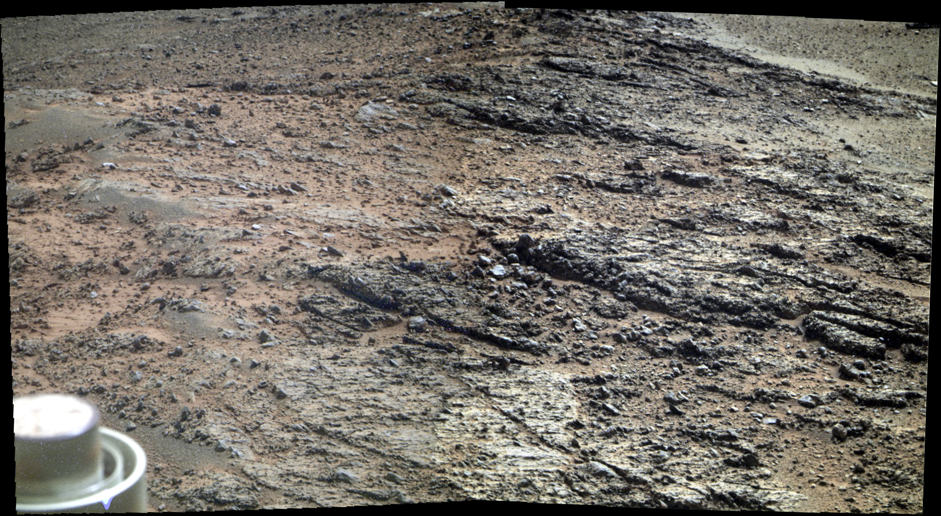
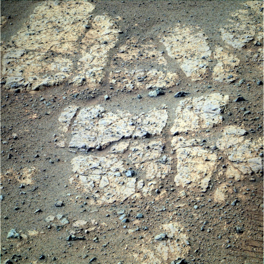
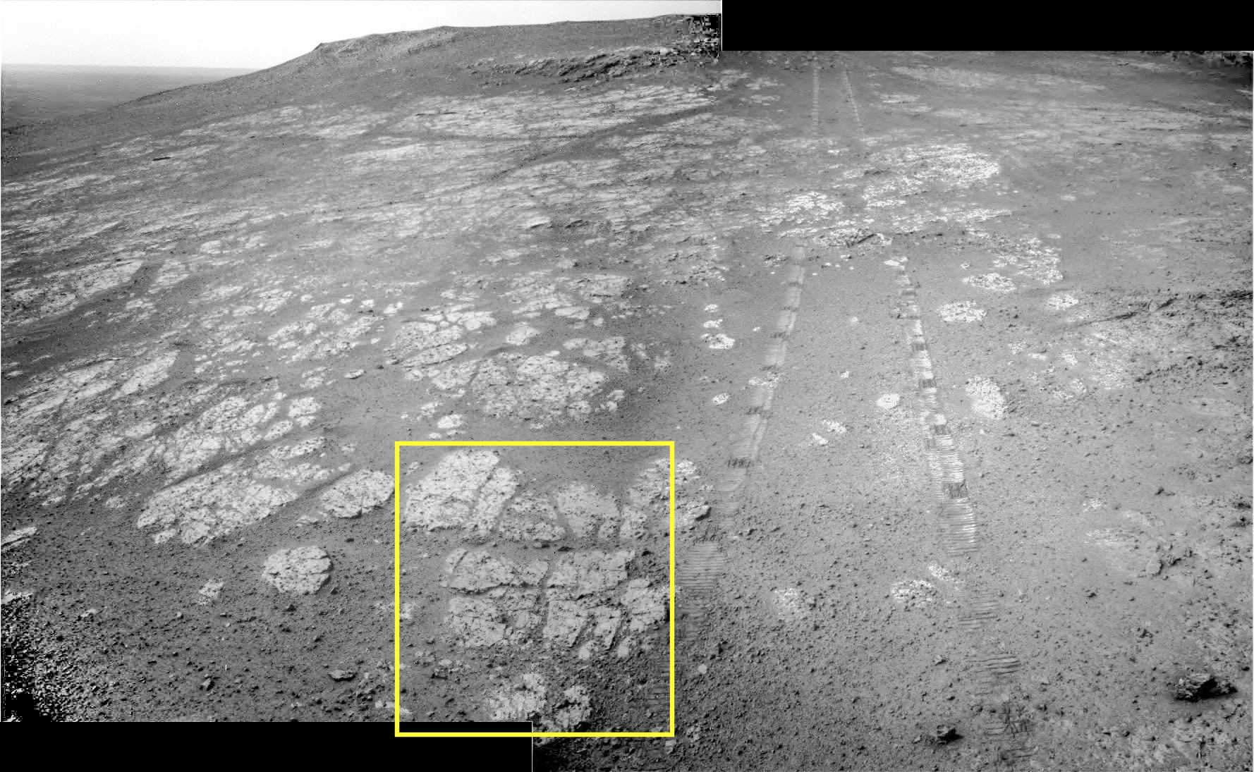
There are many hills about 1 kilometer high in Juventae Chasma, which is located north of the main Valles Marineris canyon system. The floor of the canyon is covered by a sea of sand, but the hills rise above the sand.

A few adventuresome sand dunes have slowly climbed up on the hills, like that near the upper left of the enhanced-color cutout. The color diversity here is exceptional, due to varying mineral compositions and good exposures. [More at link]

Posted in Reports | Tagged , , , , , , , | Comments Off

Curiosity: Threading between the sand traps

1642Sol 1642, March 20, 2017. Four Navcam frames capture Mt. Sharp rising above the rocky path leading south towards it, threading between the sand traps along the way. Click image to enlarge it.

Sol 1642 raw images (from all cameras), and Curiosity’s latest location.

Posted in Reports | Tagged , , , , , , , , | Comments Off

ExoMars 2020 landing sites will narrow to two

WhereOnMars_screenshot_565(1)On Monday 27 March, the 4th ExoMars Landing Site Selection Workshop will take place at the European Space Research and Technology Centre (ESTEC), The Netherlands. At the conclusion of the two-day meeting the Landing Site Selection Working Group will make their recommendation for which two landing sites should continue to be studied for the ExoMars 2020 mission.

The ExoMars rover and surface platform will launch in 2020. The primary objective is to land at a site with high potential for finding well-preserved organic material, particularly from the very early history of the planet.

While the surface platform will remain stationary at the landing site, the rover is expected to travel several kilometres during its time on Mars, and to drill down to two metres below the surface to collect samples for analysis in the rover’s onboard laboratory. Underground samples are more likely to include possible chemical biosignatures in a good state of conservation, since the tenuous martian atmosphere offers little protection from radiation to complex molecules at the surface.

At the previous landing site selection workshop, which took place in October 2015, the Landing Site Selection Working Group (LSSWG) chose three landing sites for detailed study. At the time, the ExoMars rover was scheduled for launch in 2018 and Oxia Planum was identified as the primary choice. (…)

The final decision about where to land the rover is expected to take place no later than mid-2019. [More at links]

Posted in Reports | Tagged , , , , , , , , | Comments Off

Opportunity: Pancam snaps the sourroundings

4672-navcamS4674-pancam-225Sols 4672 & 4674, March 16 & 18, 2017. Opportunity has halted on a low ridge to shoot Pancam color frames on the outcrops nearby. Above, a Navcam composite from Sol 4672 looks south, with yellow outlining the general area for a Pancam color composite (Holger Isenberg) at right.

1P543130496EFFCWSBP2552L5M1_L2L5L5L7L7Below is a Sol 4674 Navcam view back along the rover’s track, with yellow marking another Pancam composite (right). Click any image to enlarge it.

Opportunity raw images, its latest mission status, a location map, and atmospheric opacity, known as tau.

4674-navcam

Posted in Reports | Tagged , , , , , , | Comments Off