Curiosity update: Back to daily planning

1566MR0079870020800187E01_DXXX
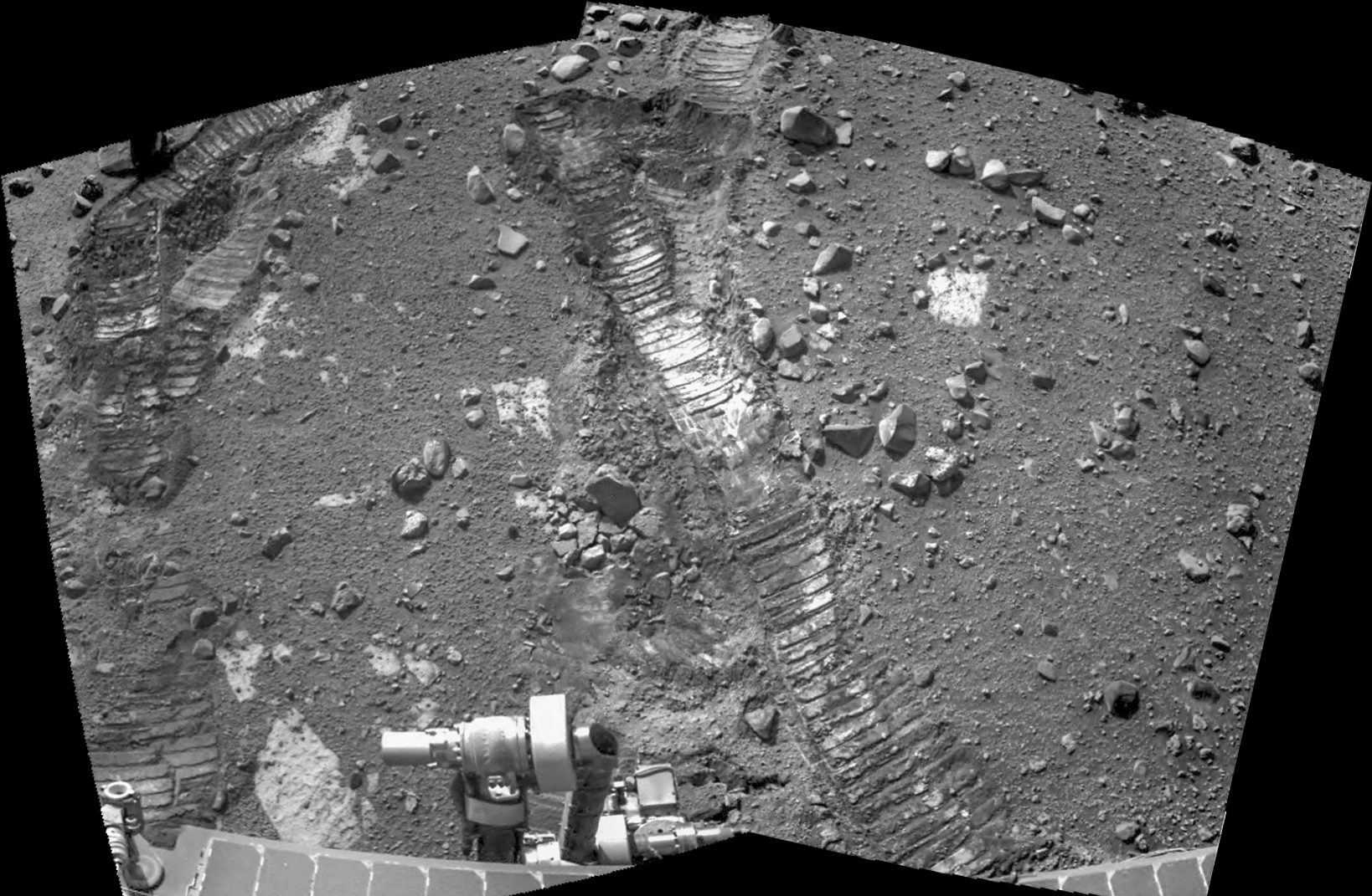
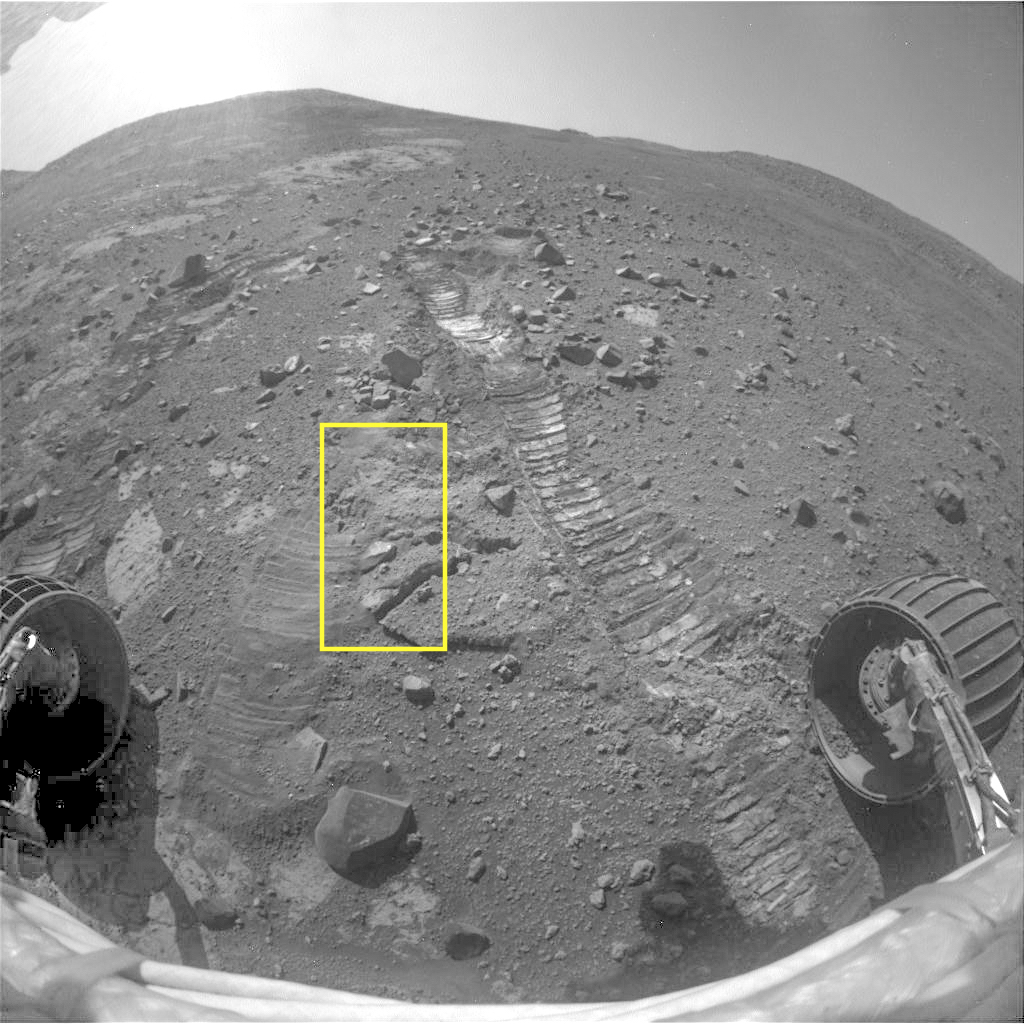
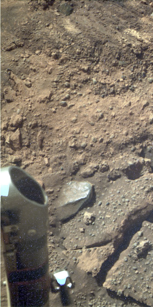
Sol 1569, January 3, 2017, update by USGS scientist Ken Herkenhoff: The MSL operations team is back at work after the holiday break, planning Sol 1569.  The activities planned for the holidays executed well, so we are proceeding with the investigation of the ridge/fracture patterns at Old Soaker.  First, ChemCam and Mastcam will observe the ridges at “Beech Mountain” and Navcam will search for clouds.  Then MAHLI will take close-up images of a grey patch named “Eagle Lake” and a full suite of images of Beech Mountain.  MAHLI will also acquire images from 25… [More at link]

Posted in Reports | Tagged , , , , , , , , , , , , , , | Comments Off

HiRISE: Hues in a crater slope

ESP_021520_1550Impact craters expose the subsurface materials on steep slopes. However, these slopes often experience rockfalls and debris avalanches that keep the surface clean of dust, revealing a variety of hues, like in this enhanced-color image, representing different rock types. The bright reddish material at the top of the crater rim is from a coating of the Martian dust.

The long streamers of material are from downslope movements. Also revealed in this slope are a variety of bedrock textures, with a mix of layered and… [More at link]

Posted in Reports | Tagged , , , , , , , , | Comments Off

THEMIS: Dunes on floor of Newton Crater

Lines of dunes in Newton Crater (THEMIS_IOTD_20170104)THEMIS Image of the Day, January 4, 2017. Today’s false color image shows some of the floor of Newton Crater. The small dark bluish features are sand dunes. The curving lines reflect the wind patterns as they flow across the crater floor.

The THEMIS VIS camera contains 5 filters. The data from different filters can be combined in multiple ways to create a false color image. These false color images may reveal subtle variations of the surface not easily identified in a single band image.

More THEMIS Images of the Day by geological topic.

Posted in Reports | Tagged , , , , , , , , , | Comments Off

HiRISE: Ridge on crater floor in Sinus Sabaeus

tumblr_oilvfhWvXM1rlz4gso1_1280A nice, long ridge on a crater floor in the Sinus Sabaeus region. Beautiful Mars series.

Posted in Reports | Tagged , , , , , , , , , | Comments Off

Opportunity: Checking churned-up soil

4601-navcam1F536645597EFFCUBVP1214R0M1Sol 4601, January 2, 2017. The rover’s team is examining the churned soil where Opportunity’s wheels encountered soft ground. Above, two Navcam frames show the ground in front of the rover, while at right is the front Hazcam view.

1P536645832ESFCUBVP2509L5M1_L2L5L5L7L7The outline shows the field of view of the Pancam (lower right) when it images the instrument arm’s “work plane” — the patch of ground where the arm can place instruments. (Color by Holger Isenberg.) All images enlarge when clicked.

Opportunity raw images, its latest mission status, a location map, and atmospheric opacity, known as tau.

Posted in Reports | Tagged , , , , , , | Comments Off

3D images reveal Mars polar ice cap features

fp_SHARAD_PB3D_depth_chaircut_150EThree-dimensional subsurface images are revealing structures within the Martian polar ice caps, including previously obscured layering, a larger volume of frozen carbon dioxide contained in the south polar cap, and bowl-shaped features that may be buried impact craters within both polar caps.

This information will help scientists better understand Martian climate changes and may allow them to determine the age of the polar caps without using climate models. The 3-D data volumes were assembled from observations by the Shallow Radar (SHARAD) onboard NASA’s Mars Reconnaissance Orbiter (MRO) during more than 2000 orbit passes over each Martian pole.

“We have applied industry-developed techniques in a very novel fashion to a Martian dataset, producing 3-D volumes that are each over 600 times larger than any terrestrial or planetary dataset of this kind,” said Nathaniel E. Putzig, a Senior Scientist at the Planetary Science Institute and co-author of “3-D Imaging of Mars’ Polar Ice Caps using Orbital Radar Data” that appears in a special section on remote sensing in the January issue of “The Leading Edge.”

“It is gratifying to see so plainly in the SHARAD volumes structures that took years of effort to characterize with the single-orbit profiles,” Putzig said. “I’m excited about what we will learn from newly revealed features such as the probable impact craters.” [More at link]

Posted in Reports | Tagged , , , , , , , , , | Comments Off

Curiosity: Mountain vista

1568-navcamSol 1568, January 3, 2017. Three Navcam frames looking southwest show Mt. Sharp and two small buttes, Oak Hill to the left and Ireson Hill to the right, with the instrument arm’s head in front. (The vista is similar to one made on Sol 1552.) Click image to enlarge it.

Sol 1568 raw images (from all cameras), and Curiosity’s latest location.

Posted in Reports | Tagged , , , , , , , , , , | Comments Off

HiRISE: Light-toned layers in Noctis Labyrinthus

PSP_005400_1685Understanding both the spatial and temporal distribution of hydrated (water-bearing) minerals on Mars is essential for deciphering the aqueous history of the planet. Over 300 meters of layered beds are exposed in this trough of Noctis Labyrinthus, at the western edge of Valles Marineris.

The beds are mixtures of light- and dark-toned materials, and include units that contain hydrated minerals, like sulfates and clays. Mapping these minerals and their stratigraphic relationships indicates numerous hydrologic… [More at link]

Posted in Reports | Tagged , , , , , , , , | Comments Off

THEMIS: Faulting cuts across Gorgonum Chaos

Faulted chaos in Gorgonum (THEMIS_IOTD_20170103)THEMIS Image of the Day, January 3, 2017. Today’s false color image shows part of Gorgonum Chaos. The linear features are tectonic faults, called graben, that are part of Sirenum Fossae.

The THEMIS VIS camera contains 5 filters. The data from different filters can be combined in multiple ways to create a false color image. These false color images may reveal subtle variations of the surface not easily identified in a single band image.

More THEMIS Images of the Day by geological topic.

Posted in Reports | Tagged , , , , , , , , , , | Comments Off

Opportunity: Pancam views outcrop, wheel track

4599-pancamFC1P536465544EFFCUB7P2592L5M1_L4L5L5L5L6Sol 4599 (!), December 31, 2016. Opportunity encountered soft ground on Sol 4591, and mission controllers rolled it back downhill about two feet while they figure how to advance without slippage.

In the meantime, the Pancam shot a multi-band survey of an exposure of bedrock lying on the left side of the rover (above; 5.9 MB). It also took a close, multi-filtered look at the wheel track where the right front wheel slipped in the soft ground (right).

Both images enlarge when clicked; both are false-color composites made by Holger Isenberg.

Opportunity raw images, its latest mission status, a location map, and atmospheric opacity, known as tau.

Posted in Reports | Tagged , , , , , , , | Comments Off