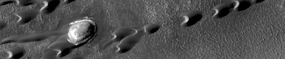


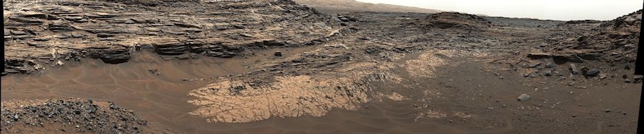
HiRISE: Loveliness of Martian gullies

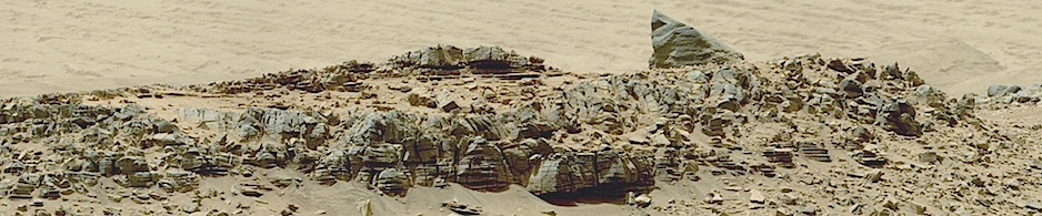
tumblr_ne4wqkZBuT1rlz4gso2_1280On the loveliness of Martian gullies. Beautiful Mars series.
Posted in Reports | Tagged , , , , , , , , | Comments Off

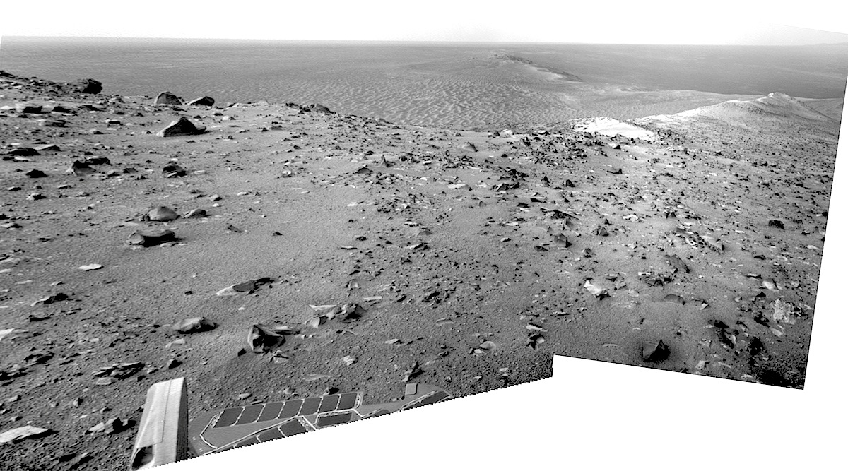
Opportunity: Looking north

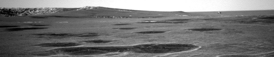
3825-northSol 3825, October 27, 2014. The rover’s left Navcam takes in the view over Wdowiak Ridge, with the rim of Ulysses Crater just visible in the center foreground. In the distance beyond lie the Solander Point and Cape York rim segments.

Mission scientists have noted that dust activity in the atmosphere has substantially raised the atmosphere’s tau, or opacity. This reduces the power provided by the rover’s solar cells. Because the ground on the ridge where Opportunity now stands is tipped somewhat away from the Sun, the mission team is looking to find a more level place for Opportunity so that power reserves can remain safely high.

Opportunity raw images, its latest mission status, and a location map.

Posted in Reports | Tagged , , , , , , , , , , | Comments Off

Opportunity: Jagged block of ejecta

1R467759463EFFCI39P1312R0M1Sol 3825, October 27, 2014. Opportunity is rolling uphill toward the south, away from Ulysses Crater, but higher on Cape Tribulation. Motoring in reverse, the rover’s right rear Hazcam catches a jagged chunk of rock (top; contrast adjusted), probably thrown out by the Ulysses Crater impact. The view from the front right Hazcam (below) looks downslope past the instrument arm toward the floor of Endeavour Crater.


1F467759411EFFCI39P1211R0M1Opportunity raw images, its latest mission status, and a location map.

Posted in Reports | Tagged , , , , , , , | Comments Off

Curiosity update from USGS

Sol 792-793, October 27, 2014, update from USGS Scientist Ryan Anderson: “I’ve been swamped with work for other projects recently, but those are behind me now, and I’m excited to get caught up on what Curiosity has been doing! The plan…” [More at link]

Posted in Reports | Tagged , , , , , , , | Comments Off

THEMIS: South polar layers

South polar layers (THEMIS_IOTD_20141028)THEMIS Image of the Day, October 28, 2014. Today’s VIS image shows layering in the south polar cap.

More THEMIS Images of the Day by geological topic.


Posted in Reports | Tagged , , , , , , , , , | Comments Off

HRSC: Chaos in Atlantis basin

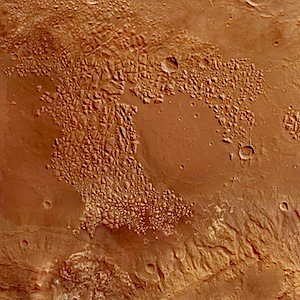
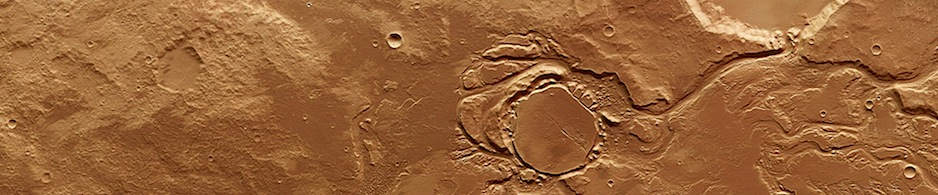
Chaos_in_Atlantis_basinMars is peppered with craters. Scientists have deduced that the red planet is struck by around 200 meteoroids every year that dig out new craters. While some small craters are fresh, Mars has a great many that are much larger and more ancient, such as the roughly circular patch of terrain, partially encircled by wrinkled cliffs, shown at the centre of this image. Named Atlantis basin, this crater is so old that its outer rim has eroded and is now barely detectable…. [More at link]

Posted in Reports | Tagged , , , , , , , , , | Comments Off

HiRISE: Perennial frost in a northern plains crater

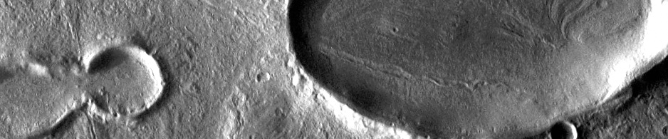
ESP_037551_2540Most surface ice on Mars is temporary. The polar layered deposits are thick stacks of permanent water ice at each pole, and the South Polar residual cap may be a permanent (although dynamic) layer of carbon dioxide ice. However, at lower latitudes, seasonal frost (mostly carbon dioxide, but some water ice) comes and goes each year… [More at link]

Posted in Reports | Tagged , , , , , , , , | Comments Off

THEMIS: Sirenum Fossae

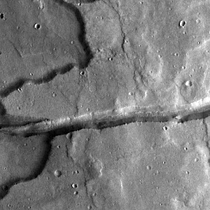
Sirenum Fossae (THEMIS_IOTD_20141027)THEMIS Image of the Day, October 27, 2014. Today’s VIS image shows a graben cutting through a plateau. The graben is part of Sirenum Fossae.

More THEMIS Images of the Day by geological topic.

Posted in Reports | Tagged , , , , , , , , | Comments Off

HiRISE: Layered material in Melas Chasma

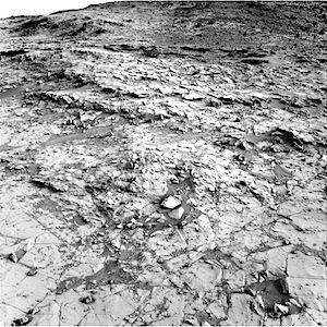
ESP_037494_1685Melas Chasma is the widest segment of the Valles Marineris canyon, and is an area where MRO has detected the presence of sulfates. This image offers a view of an excellent contact between layered deposits that postdate the formation of Valles Marineris and possible deposits that predate the canyon’s formation. The materials are near interior layered deposits that contain sulfates and likely have hydrated minerals… [More at link]

Posted in Reports | Tagged , , , , , , , , , | Comments Off

Curiosity update: ‘Approaching Alexander Hills’

NRB_467371144EDR_F0440190NCAM00290M_Sol 789-791, October 24, 2014, update from USGS Scientist Lauren Edgar: “It was another fun day of operations as we planned Curiosity’s continued investigation of the Pahrump Hills… The drive on Sol 787 placed Curiosity approximately 18 m from the Gilbert Peak outcrop, and 8 m from what is now named the “Alexander Hills” outcrop.  This Navcam image from Sol 787 shows the Alexander Hills as a small cliff in the middle of the frame, and the Gilbert Peak outcrop as the thin dark beds a little higher up on the hill…. [More at link]

Posted in Reports | Tagged , , , , , , , , , | Comments Off