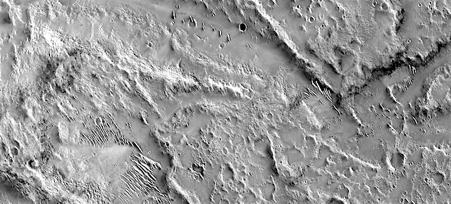
THEMIS Image of the Day, October 31, 2017. This image shows part of the western flank of Pavonis Mons. The linear features are faults. Faulting usually includes change of elevation, where blocks of material slide down the fault. Paired faults are call graben. The large depression is a graben, whereas most of the other faults are not paired. The rougher looking materials perpendicular to the faults are lava flows. “Downhill” is toward the upper left corner of the image.
Pavonis Mons is one of the three aligned Tharsis Volcanoes. The four Tharsis volcanoes are Ascreaus Mons, Pavonis Mons, Arsia Mons, and Olympus Mars. All four are shield type volcanoes. Shield volcanoes are formed by lava flows originating near or at the summit, building up layers upon layers of lava. The Hawaiian islands on Earth are shield volcanoes. The three aligned volcanoes are located along a topographic rise in the Tharsis region. Along this trend there are increased tectonic features and additional lava flows.
Pavonis Mons is the smallest of the four volcanoes, rising 14 km above the mean Mars surface level with a width of 375 km. It has a complex summit caldera, with the smallest caldera deeper than the larger caldera. Like most shield volcanoes the surface has a low profile. In the case of Pavonis Mons the average slope is only 4 degrees.
NASA’s Mars Odyssey spacecraft has spent over 15 years in orbit around Mars, circling the planet more than 69,000 times. It holds the record for longest working spacecraft at Mars. THEMIS, the IR/VIS camera system, has collected data for the entire mission and provides images covering all seasons and lighting conditions.
Over the years many features of interest have received repeated imaging, building up a suite of images covering the entire feature. From the deepest chasma to the tallest volcano, individual dunes inside craters and dune fields that encircle the north pole, channels carved by water and lava, and a variety of other feature, THEMIS has imaged them all.
For the next several months the Image of the Day will focus on the Tharsis volcanoes, the various chasmata of Valles Marineris, and the major dunes fields. We hope you enjoy these images!
More THEMIS Images of the Day by geological topic.


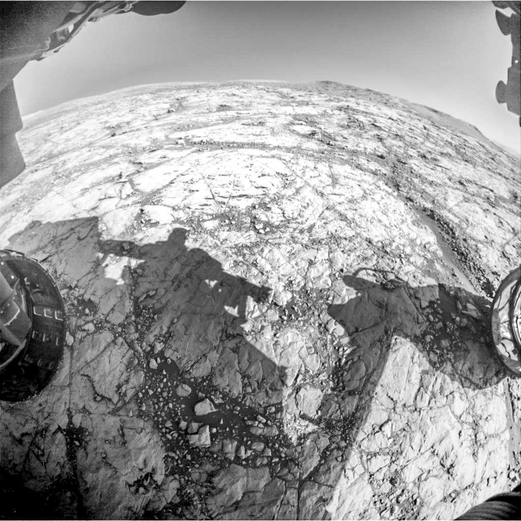
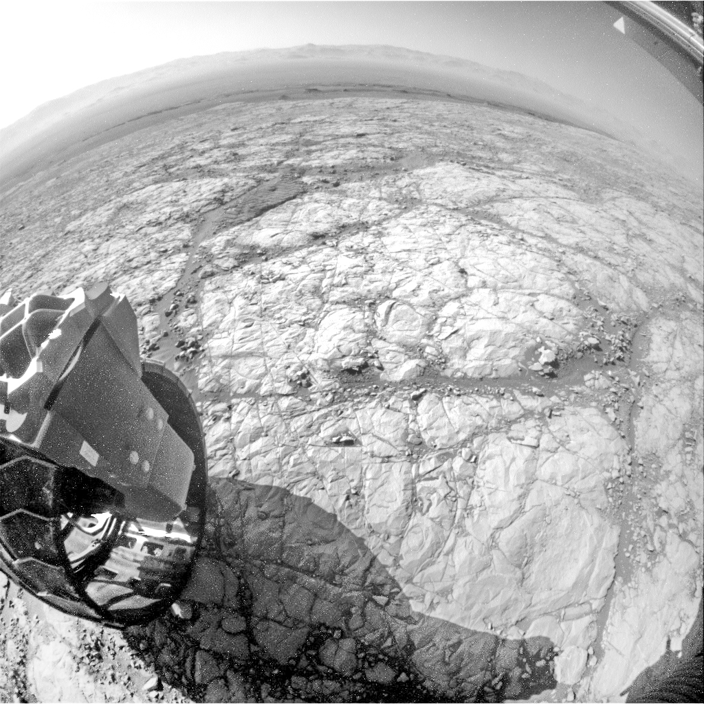
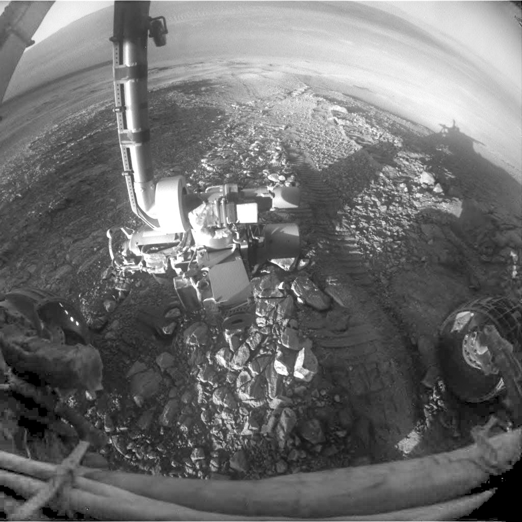
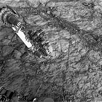
 Sol 4895, October 31, 2017. Rover scientists commanded the Microscopic Imager to shoot six frames on a grooved rock dubbed Mesilla at the La Bajada site, as they seek to find out what made the grooves. Wind? Water? Unclear as yet. Click image to enlarge it.
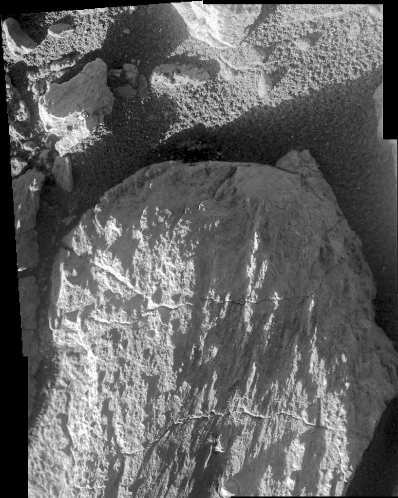